Costerfield Area, Costerfield Postcode(3523) & Map in Costerfield, Bendigo, VIC
Costerfield Area, Costerfield Postcode(3523) & Map in Costerfield, Bendigo, VIC, AU, Postcode: 3523
Costerfield, Heathcote, Heathcote - Castlemaine - Kyneton, Bendigo, Victoria, Australia, 3523
Costerfield Postcode
Area Name
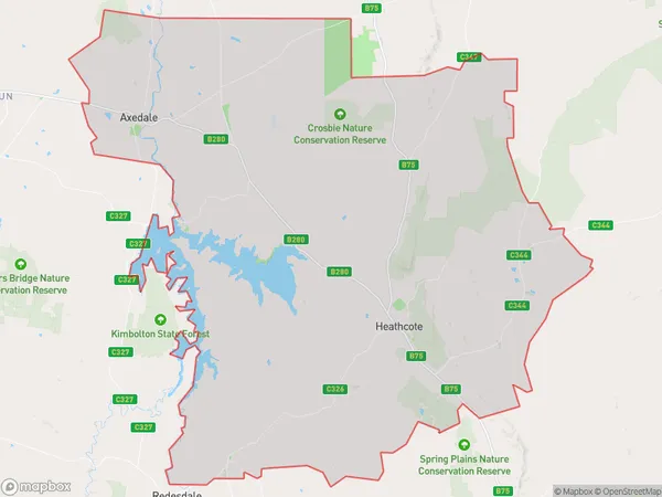
CosterfieldCosterfield Suburb Area Map (Polygon)

Costerfield Introduction
Costerfield is a suburb located in the City of Greater Bendigo, Victoria, Australia. It is approximately 10 kilometers north-east of the central business district of Bendigo. Costerfield is known for its historic homes and gardens, including the Costerfield Estate, which is a significant example of Victorian-era architecture. The suburb also has a variety of shops, cafes, and restaurants, as well as a community center and a primary school.State Name
City or Big Region
District or Regional Area
Suburb Name
Costerfield Region Map

Country
Main Region in AU
R3Coordinates
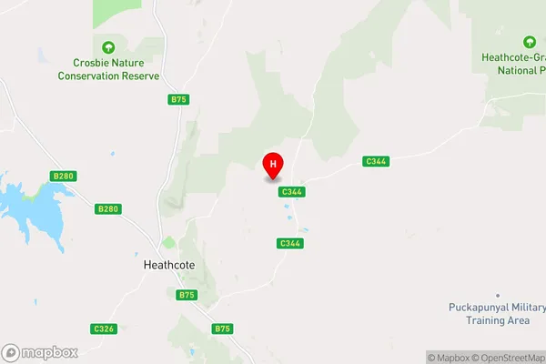
-36.866095,144.7817187 (latitude/longitude)Costerfield Area Map (Street)

Longitude
144.768359Latitude
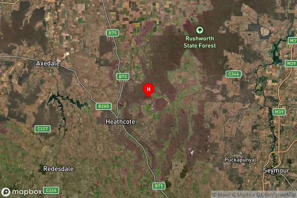
-36.837461Costerfield Suburb Map (Satellite)

Distances
The distance from Costerfield, Bendigo, VIC to AU Greater Capital CitiesSA1 Code 2011
20202102904SA1 Code 2016
20202102904SA2 Code
202021029SA3 Code
20202SA4 Code
202RA 2011
2RA 2016
2MMM 2015
5MMM 2019
5Charge Zone
V2LGA Region
Greater BendigoLGA Code
22620Electorate
Nicholls