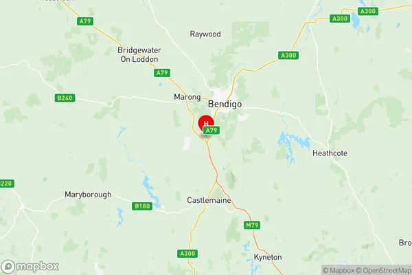
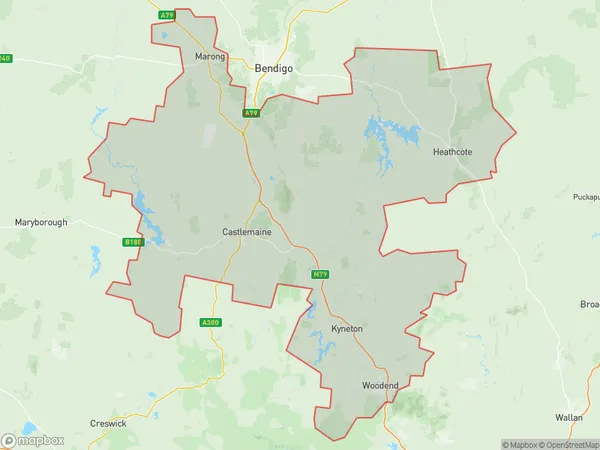
Heathcote Castlemaine Kyneton Suburbs & Region, Heathcote Castlemaine Kyneton Map & Postcodes
Heathcote Castlemaine Kyneton Suburbs & Region, Heathcote Castlemaine Kyneton Map & Postcodes in Heathcote Castlemaine Kyneton, Bendigo, VIC, AU
Heathcote Castlemaine Kyneton Region
Region Name
Heathcote Castlemaine Kyneton (VIC, AU)Heathcote Castlemaine Kyneton Area
3921 square kilometers (3,921 ㎢)Postal Codes
3364, from 3446 to 3448, 3450, 3451, 3453, 3458, 3461, and 3462 (In total, there are 10 postcodes in Heathcote Castlemaine Kyneton.)Heathcote Castlemaine Kyneton Introduction
Heathcote Castlemaine Kyneton is a historic home located in central Victoria, Australia. It is a significant example of the Victorian Gothic style of architecture and is known for its intricate woodwork, stained glass windows, and beautiful gardens. The house was built in the 1850s for John Batman, a wealthy businessman and politician, and it remained in his family until 1927. Today, it is a popular tourist attraction and is open to the public for tours and events. The house is also home to a collection of antique furniture and artworks, including paintings by Sir William Dobell and Sir Joseph Wolff.Australia State
City or Big Region
District or Regional Area
Heathcote Castlemaine Kyneton Region Map

Heathcote Castlemaine Kyneton Postcodes / Zip Codes
Heathcote Castlemaine Kyneton Suburbs
Bacchus Marsh Region
Heathcote Castlemaine Kyneton full address
Heathcote Castlemaine Kyneton, Bendigo, Victoria, VIC, Australia, SaCode: 20202Country
Heathcote Castlemaine Kyneton, Bendigo, Victoria, VIC, Australia, SaCode: 20202
Heathcote Castlemaine Kyneton Suburbs & Region, Heathcote Castlemaine Kyneton Map & Postcodes has 5 areas or regions above, and there are 98 Heathcote Castlemaine Kyneton suburbs below. The sa3code for the Heathcote Castlemaine Kyneton region is 20202. Its latitude and longitude coordinates are -36.8664,144.208.
Heathcote Castlemaine Kyneton Suburbs & Localities
1. Blampied
2. Cabbage Tree
3. Kingston
4. Kooroocheang
5. Lawrence
6. Rocklyn
7. Smokeytown
8. Strathlea
9. Ascot
10. Bald Hills
11. Barkstead
12. Campbelltown
13. Glendonald
14. Joyces Creek
15. Ullina
16. Werona
17. Drummond North
18. Elphinstone
19. Metcalfe
20. Chewton
21. Chewton Bushlands
22. Gower
23. Guildford
24. Irishtown
25. Mckenzie Hill
26. Tarilta
27. Yapeen
28. Barrys Reef
29. Lerderderg
30. Little Hampton
31. Newbury
32. Coomoora
33. Denver
34. Elevated Plains
35. Hepburn
36. Mount Franklin
37. Sailors Falls
38. Shepherds Flat
39. Yandoit
40. Newstead
41. Sutton Grange
42. Moonlight Flat
43. Fryerstown
44. Woodbrook
45. Harcourt North
46. North Blackwood
47. Bullarto
48. Bullarto South
49. Clydesdale
50. Drummond
51. Eganstown
52. Leonards Hill
53. Musk
54. Spargo Creek
55. Wheatsheaf
56. Yandoit Hills
57. Green Gully
58. Sandon
59. Allendale
60. Glendonnell
61. Mount Prospect
62. Newlyn North
63. Broomfield
64. Coghills Creek
65. Newlyn
66. Smeaton
67. Smokey Town
68. Springmount
69. Malmsbury
70. Taradale
71. Castlemaine
72. Vaughan
73. Blackwood
74. Franklinford
75. Glenlyon
76. Hepburn Springs
77. Korweinguboora
78. Lyonville
79. Joyces Creek
80. Barkers Creek
81. Campbells Creek
82. Faraday
83. Glenluce
84. Golden Point
85. Muckleford
86. Harcourt
87. Ravenswood
88. Ravenswood South
89. Fern Hill
90. Trentham
91. Trentham East
92. Dry Diggings
93. Musk Vale
94. Porcupine Ridge
95. Sailors Hill
96. Strangways
97. Muckleford South
98. Welshmans Reef
