Taradale Area, Taradale Postcode(3447) & Map in Taradale, Bendigo, VIC
Taradale Area, Taradale Postcode(3447) & Map in Taradale, Bendigo, VIC, AU, Postcode: 3447
Taradale, Castlemaine Region, Heathcote - Castlemaine - Kyneton, Bendigo, Victoria, Australia, 3447
Taradale Postcode
Area Name
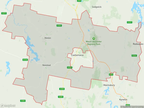
TaradaleTaradale Suburb Area Map (Polygon)

Taradale Introduction
Taradale is a suburb of Bendigo, Victoria, Australia. It is located 10 km north of the central business district and has a population of around 11,000 people. The suburb was named after the Taradale railway station, which was opened in 1889. It is known for its historic buildings, including the Taradale Hotel and the Taradale Post Office. The area is also home to a number of parks and recreational facilities, including the Taradale Park Golf Course and the Taradale Aquatic Centre.State Name
City or Big Region
District or Regional Area
Suburb Name
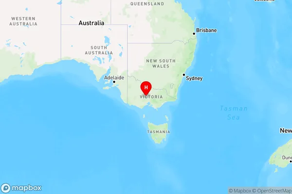
Taradale Region Map

Country
Main Region in AU
R3Coordinates
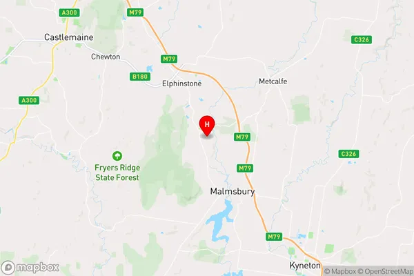
-37.1465105,144.3576473 (latitude/longitude)Taradale Area Map (Street)

Longitude
144.322487Latitude
-37.157744Taradale Elevation
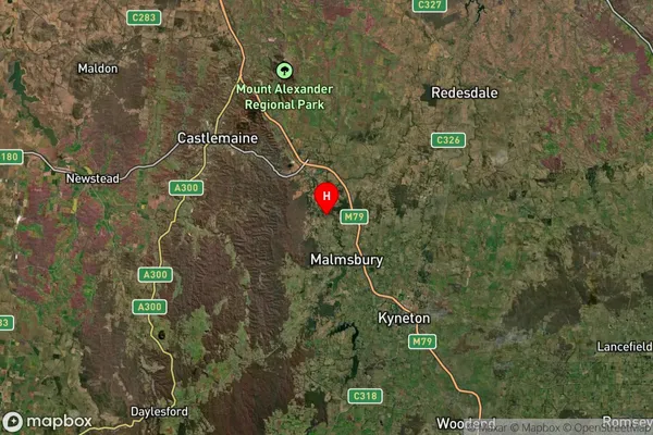
about 442.82 meters height above sea level (Altitude)Taradale Suburb Map (Satellite)

Distances
The distance from Taradale, Bendigo, VIC to AU Greater Capital CitiesSA1 Code 2011
20202102815SA1 Code 2016
20202102815SA2 Code
202021028SA3 Code
20202SA4 Code
202RA 2011
2RA 2016
2MMM 2015
5MMM 2019
5Charge Zone
V2LGA Region
Mount AlexanderLGA Code
25430Electorate
Bendigo