Moonlight Flat Area, Moonlight Flat Postcode(3450) & Map in Moonlight Flat, Bendigo, VIC
Moonlight Flat Area, Moonlight Flat Postcode(3450) & Map in Moonlight Flat, Bendigo, VIC, AU, Postcode: 3450
Moonlight Flat, Castlemaine, Heathcote - Castlemaine - Kyneton, Bendigo, Victoria, Australia, 3450
Moonlight Flat Postcode
Area Name
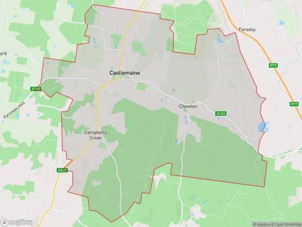
Moonlight FlatMoonlight Flat Suburb Area Map (Polygon)

Moonlight Flat Introduction
Moonlight Flat is a heritage-listed former residence and now a museum located at 109-111 Hargreaves Street, Bendigo, Victoria, Australia. It was built in 1855 by John Hargreaves for his wife and was designed in the Italianate style. The house is significant as an example of the early residential development of Bendigo and its architecture reflects the social and economic conditions of the time. It is now operated by the Bendigo Heritage Trust and is open to the public for tours and exhibitions.State Name
City or Big Region
District or Regional Area
Suburb Name
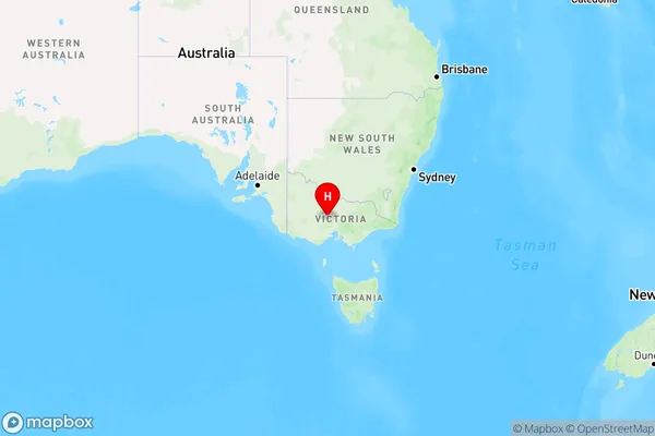
Moonlight Flat Region Map

Country
Main Region in AU
R3Coordinates
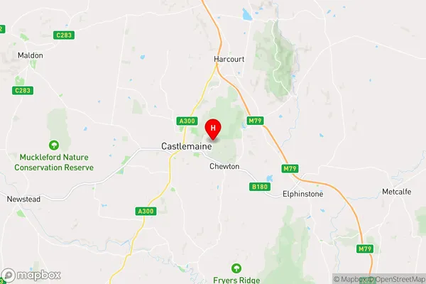
-37.0632272,144.2456637 (latitude/longitude)Moonlight Flat Area Map (Street)

Longitude
144.214903Latitude
-37.061635Moonlight Flat Elevation
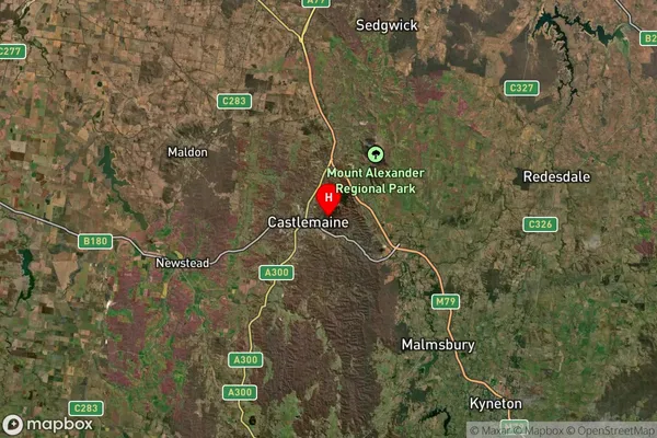
about 281.97 meters height above sea level (Altitude)Moonlight Flat Suburb Map (Satellite)

Distances
The distance from Moonlight Flat, Bendigo, VIC to AU Greater Capital CitiesSA1 Code 2011
20202102712SA1 Code 2016
20202102712SA2 Code
202021027SA3 Code
20202SA4 Code
202RA 2011
2RA 2016
2MMM 2015
4MMM 2019
4Charge Zone
V2LGA Region
Mount AlexanderLGA Code
25430Electorate
Bendigo