Welshmans Reef Area, Welshmans Reef Postcode(3462) & Map in Welshmans Reef, Bendigo, VIC
Welshmans Reef Area, Welshmans Reef Postcode(3462) & Map in Welshmans Reef, Bendigo, VIC, AU, Postcode: 3462
Welshmans Reef, Castlemaine Region, Heathcote - Castlemaine - Kyneton, Bendigo, Victoria, Australia, 3462
Welshmans Reef Postcode
Area Name
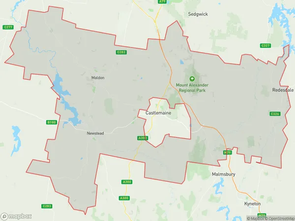
Welshmans ReefWelshmans Reef Suburb Area Map (Polygon)

Welshmans Reef Introduction
Welshmans Reef is a historic gold mining site located in Bendigo, Victoria, Australia. It was one of the largest gold mines in the world during the 19th century and is now a popular tourist attraction. The reef was discovered in 1851 by William Welshman and was worked extensively until the early 20th century. Visitors can explore the underground tunnels and shafts, visit the museum, and take part in gold panning tours. Welshmans Reef is a significant part of Australia's gold mining history and is a must-see for anyone interested in the country's rich mining heritage.State Name
City or Big Region
District or Regional Area
Suburb Name
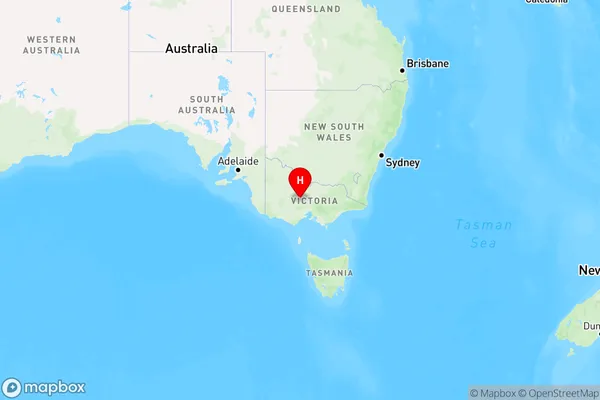
Welshmans Reef Region Map

Country
Main Region in AU
R3Coordinates
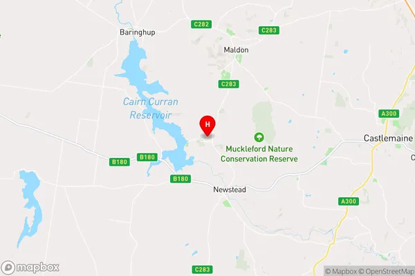
-37.0663518,144.0405424 (latitude/longitude)Welshmans Reef Area Map (Street)

Longitude
144.053611Latitude
-37.083561Welshmans Reef Elevation
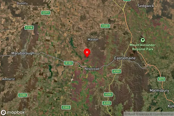
about 240.08 meters height above sea level (Altitude)Welshmans Reef Suburb Map (Satellite)

Distances
The distance from Welshmans Reef, Bendigo, VIC to AU Greater Capital CitiesSA1 Code 2011
20202102820SA1 Code 2016
20202102820SA2 Code
202021028SA3 Code
20202SA4 Code
202RA 2011
2RA 2016
2MMM 2015
5MMM 2019
5Charge Zone
V2LGA Region
Mount AlexanderLGA Code
25430Electorate
Bendigo