Spargo Creek Area, Spargo Creek Postcode(3461) & Map in Spargo Creek, Ballarat, VIC
Spargo Creek Area, Spargo Creek Postcode(3461) & Map in Spargo Creek, Ballarat, VIC, AU, Postcode: 3461
Spargo Creek, Gordon (Vic.), Creswick - Daylesford - Ballan, Ballarat, Victoria, Australia, 3461
Spargo Creek Postcode
Area Name
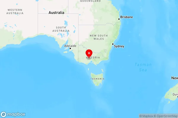
Spargo CreekSpargo Creek Suburb Area Map (Polygon)

Spargo Creek Introduction
Spargo Creek is a small creek located in the Ballarat region of Victoria, Australia. It is a tributary of the Yarrowee River and is known for its scenic beauty and recreational opportunities. The creek flows through the Mount Helen Nature Reserve and provides a habitat for a variety of native plants and animals. It is also popular with birdwatchers and anglers.State Name
City or Big Region
District or Regional Area
Suburb Name
Spargo Creek Region Map

Country
Main Region in AU
R3Coordinates
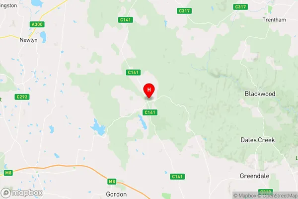
-37.4775151,144.153047 (latitude/longitude)Spargo Creek Area Map (Street)

Longitude
144.170995Latitude
-37.287848Spargo Creek Elevation
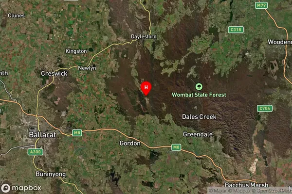
about 499.47 meters height above sea level (Altitude)Spargo Creek Suburb Map (Satellite)

Distances
The distance from Spargo Creek, Ballarat, VIC to AU Greater Capital CitiesSA1 Code 2011
20102101216SA1 Code 2016
20102101216SA2 Code
201021012SA3 Code
20102SA4 Code
201RA 2011
2RA 2016
2MMM 2015
5MMM 2019
5Charge Zone
V2LGA Region
HepburnLGA Code
22910Electorate
Bendigo