Ballarat Suburbs & Region, Ballarat Map & Postcodes
Ballarat Suburbs & Region, Ballarat Map & Postcodes in Ballarat, VIC, AU
Ballarat Region
Region Name
Ballarat (VIC, AU)Ballarat Area
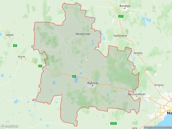
10288 square kilometers (10,288 ㎢)Ballarat Suburb Area Map (Polygon)
Ballarat Introduction
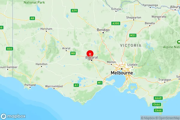
Ballarat is a city in the western region of Victoria, Australia. It is located approximately 125 miles (201 km) northwest of Melbourne, the state capital. Founded in 1851, it is known for its rich gold mining history and is home to the famous Ballarat Botanical Gardens. The city has a population of around 100,000 people and is known for its vibrant arts and culture scene, with numerous galleries, museums, and theaters. It is also home to the Australian National University and the University of Ballarat. Ballarat is surrounded by picturesque countryside, including the Grampians National Park, which is a popular destination for hiking and outdoor activities.Australia State
City or Big Region
Ballarat Region Map
Ballarat Suburbs
Ballarat
Creswick Daylesford Ballan
Maryborough Pyrenees
Ballarat full address
Ballarat, Victoria, VIC, Australia, SaCode: 201Country
Ballarat, Victoria, VIC, Australia, SaCode: 201
Ballarat Suburbs & Region, Ballarat Map & Postcodes has 3 areas or regions above, and there are 0 Ballarat suburbs below. The sa4code for the Ballarat region is 201. Its latitude and longitude coordinates are -37.555,143.8.