Maryborough Pyrenees Suburbs & Region, Maryborough Pyrenees Map & Postcodes
Maryborough Pyrenees Suburbs & Region, Maryborough Pyrenees Map & Postcodes in Maryborough Pyrenees, Ballarat, VIC, AU
Maryborough Pyrenees Region
Region Name
Maryborough Pyrenees (VIC, AU)Maryborough Pyrenees Area
6172 square kilometers (6,172 ㎢)Postal Codes
3370, 3371, 3464, and from 3467 to 3469 (In total, there are 6 postcodes in Maryborough Pyrenees.)Maryborough Pyrenees Introduction
The 'Maryborough Pyrenees' is a mountain range located in the central region of Victoria, Australia. It is part of the Great Dividing Range and is known for its stunning scenic beauty, diverse wildlife, and rich cultural heritage. The range stretches approximately 100 kilometers (62 miles) from north to south and is characterized by rugged terrain, steep slopes, and picturesque valleys. The highest peak in the range is Mount Bogong, which stands at an elevation of 1,988 meters (6,518 feet) and offers breathtaking panoramic views of the surrounding area. The range is home to a variety of plant and animal species, including the endangered Eastern Bettong, which is found only in this region. The area also has a rich history, with numerous gold mines and historic towns such as Maryborough and Ballarat being located within its boundaries. The Maryborough Pyrenees is a popular destination for outdoor enthusiasts, with numerous hiking trails, camping grounds, and picnic spots throughout the range. The area is also home to several wineries and breweries, which produce a variety of local wines and beers. In conclusion, the Maryborough Pyrenees is a stunning natural wonder that offers a unique blend of scenic beauty, wildlife, cultural heritage, and outdoor recreation opportunities.Australia State
City or Big Region
District or Regional Area
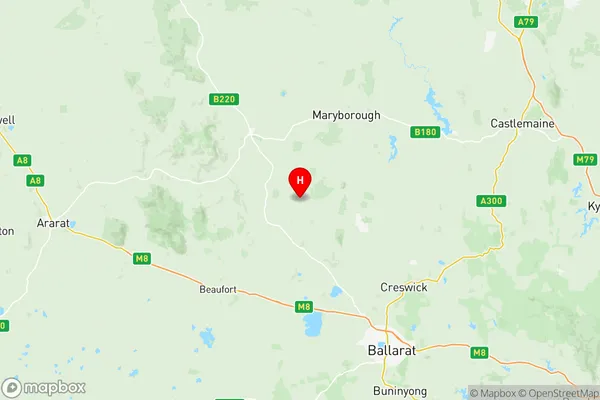
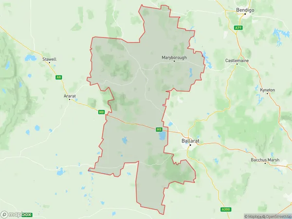
Maryborough Pyrenees Region Map

Maryborough Pyrenees Postcodes / Zip Codes
Maryborough Pyrenees Suburbs
Creswick Clunes
Maryborough Pyrenees full address
Maryborough Pyrenees, Ballarat, Victoria, VIC, Australia, SaCode: 20103Country
Maryborough Pyrenees, Ballarat, Victoria, VIC, Australia, SaCode: 20103
Maryborough Pyrenees Suburbs & Region, Maryborough Pyrenees Map & Postcodes has 2 areas or regions above, and there are 24 Maryborough Pyrenees suburbs below. The sa3code for the Maryborough Pyrenees region is 20103. Its latitude and longitude coordinates are -37.2341,143.609.
Maryborough Pyrenees Suburbs & Localities
1. Clunes
2. Glengower
3. Mount Cameron
4. Ullina
5. Amherst
6. Burnbank
7. Caralulup
8. Dunach
9. Evansford
10. Lillicur
11. Mount Glasgow
12. Red Lion
13. Stony Creek
14. Talbot
15. Carisbrook
16. Avoca
17. Moyreisk
18. Amphitheatre
19. Mount Lonarch
20. Elmhurst
21. Glenlofty
22. Glenlogie
23. Glenpatrick
24. Nowhere Creek
