Clunes Area, Clunes Postcode(3370) & Map in Clunes, Ballarat, VIC
Clunes Area, Clunes Postcode(3370) & Map in Clunes, Ballarat, VIC, AU, Postcode: 3370
Clunes, Creswick - Clunes, Creswick - Daylesford - Ballan, Ballarat, Victoria, Australia, 3370
Clunes Postcode
Area Name
ClunesClunes Suburb Area Map (Polygon)

Clunes Introduction
Clunes is a small town in Victoria, Australia, located 35 kilometers north-west of Ballarat. It is known for its historic gold mining and is a popular tourist destination. The Clunes Historic Village is a popular attraction, with many original buildings and structures from the gold-mining era. The town also has a golf course, a cricket club, and a variety of shops and cafes.State Name
City or Big Region
District or Regional Area
Suburb Name
Clunes Region Map

Country
Main Region in AU
R3Coordinates
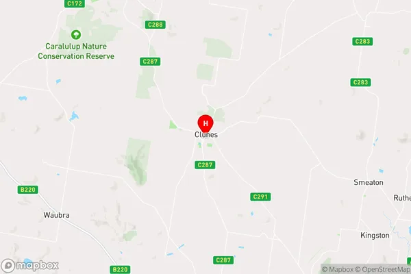
-37.296,143.786 (latitude/longitude)Clunes Area Map (Street)

Longitude
143.815613Latitude
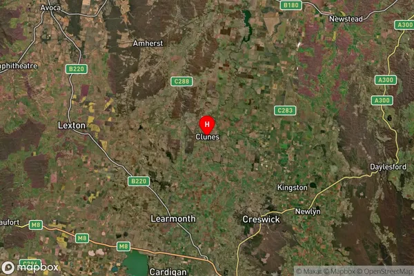
-37.252718Clunes Suburb Map (Satellite)

Distances
The distance from Clunes, Ballarat, VIC to AU Greater Capital CitiesSA1 Code 2011
20102101012SA1 Code 2016
20102101012SA2 Code
201021010SA3 Code
20102SA4 Code
201RA 2011
2RA 2016
2MMM 2015
5MMM 2019
5Charge Zone
V2LGA Region
HepburnLGA Code
22910Electorate
Mallee