Caralulup Area, Caralulup Postcode(3371) & Map in Caralulup, Ballarat, VIC
Caralulup Area, Caralulup Postcode(3371) & Map in Caralulup, Ballarat, VIC, AU, Postcode: 3371
Caralulup, Maryborough Region, Maryborough - Pyrenees, Ballarat, Victoria, Australia, 3371
Caralulup Postcode
Area Name
CaralulupCaralulup Suburb Area Map (Polygon)

Caralulup Introduction
Caralulup is a locality in the City of Ballarat, Victoria, Australia. It is located in the western part of the city, near the Western Freeway and the Caralulup River. The area was first settled in the 1850s and was named after the Caralulup River, which flows through it. Caralulup is known for its historic gold mining and has a number of heritage-listed buildings and sites. It is also home to a large community of Aboriginal people, who have been living in the area for thousands of years.State Name
City or Big Region
District or Regional Area
Suburb Name
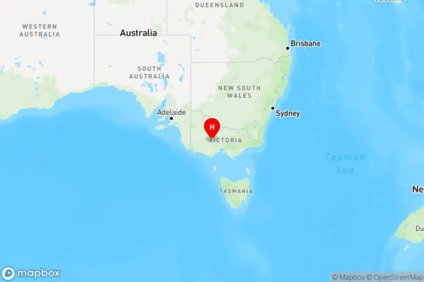
Caralulup Region Map

Country
Main Region in AU
R3Coordinates
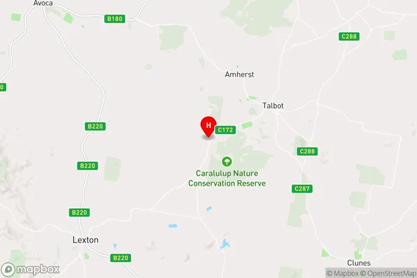
-37.1966231,143.638027 (latitude/longitude)Caralulup Area Map (Street)

Longitude
143.635622Latitude
-37.196938Caralulup Elevation
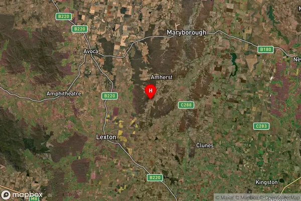
about 277.98 meters height above sea level (Altitude)Caralulup Suburb Map (Satellite)

Distances
The distance from Caralulup, Ballarat, VIC to AU Greater Capital CitiesSA1 Code 2011
20103101707SA1 Code 2016
20103101707SA2 Code
201031017SA3 Code
20103SA4 Code
201RA 2011
2RA 2016
2MMM 2015
5MMM 2019
5Charge Zone
V2LGA Region
Central GoldfieldsLGA Code
21670Electorate
Wannon