Gordon (Vic.) Suburbs & Region, Gordon (Vic.) Map & Postcodes
Gordon (Vic.) Suburbs & Region, Gordon (Vic.) Map & Postcodes in Gordon (Vic.), Heathcote Castlemaine Kyneton, Bendigo, VIC, AU
Gordon (Vic.) Region
Region Name
Gordon (Vic.) (VIC, AU)Gordon (Vic.) Area
850.31 square kilometers (850.31 ㎢)Postal Codes
3334, 3342, 3345, 3352, 3364, and 3461 (In total, there are 6 postcodes in Gordon (Vic.).)Gordon (Vic.) Suburb Area Map (Polygon)

Gordon (Vic.) Introduction
Gordon is a locality in the local government area of the City of Greater Bendigo, Victoria, Australia. It is located 13 km north-east of Bendigo's central business district. The post office opened as Harcourt on 1 October 1858 and was closed on 1 July 1927. The present post office opened as Gordon on 1 November 1927 and was closed on 28 March 1974.Australia State
City or Big Region
Greater Capital City
Rest of Vic. (2RVIC)District or Regional Area
Suburb Name
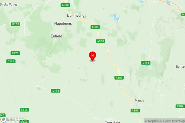
Gordon (Vic.) Region Map
Gordon (Vic.) Postcodes / Zip Codes
Gordon (Vic.) Suburbs
Gordon (Vic.) full address
Gordon (Vic.), Heathcote Castlemaine Kyneton, Bendigo, Victoria, VIC, Australia, SaCode: 201021012Country
Gordon (Vic.), Heathcote Castlemaine Kyneton, Bendigo, Victoria, VIC, Australia, SaCode: 201021012
Gordon (Vic.) Suburbs & Region, Gordon (Vic.) Map & Postcodes has 0 areas or regions above, and there are 29 Gordon (Vic.) suburbs below. The sa2code for the Gordon (Vic.) region is 201021012. Its latitude and longitude coordinates are -37.8134,143.959. Gordon (Vic.) area belongs to Australia's greater capital city Rest of Vic..
Gordon (Vic.) Suburbs & Localities
1. Bungal
2. Cargerie
3. Elaine
4. Morrisons
5. Mount Doran
6. Bunding
7. Gordon
8. Barkstead
9. Bolwarrah
10. Bullarook
11. Bungaree
12. Clarendon
13. Claretown
14. Clarkes Hill
15. Dunnstown
16. Durham Lead
17. Lal Lal
18. Leigh Creek
19. Millbrook
20. Mollongghip
21. Mount Egerton
22. Navigators
23. Pootilla
24. Scotsburn
25. Springbank
26. Wallace
27. Yendon
28. Barkstead
29. Spargo Creek