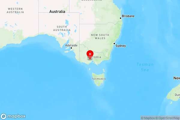
Morrisons Area, Morrisons Postcode(3334) & Map in Morrisons, Ballarat, VIC
Morrisons Area, Morrisons Postcode(3334) & Map in Morrisons, Ballarat, VIC, AU, Postcode: 3334
Morrisons, Gordon (Vic.), Creswick - Daylesford - Ballan, Ballarat, Victoria, Australia, 3334
Morrisons Postcode
Area Name
MorrisonsMorrisons Suburb Area Map (Polygon)

Morrisons Introduction
Morrisons is an Australian supermarket chain that was founded in 1908. It is headquartered in Ballarat, Victoria. The company offers a wide range of products, including groceries, fresh produce, meat, seafood, and household items. Morrisons is known for its commitment to quality and customer service. It has a network of stores across Australia and employs over 20,000 people.State Name
City or Big Region
District or Regional Area
Suburb Name
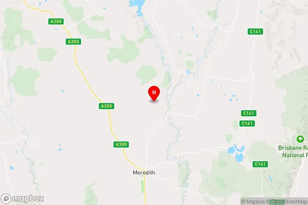
Morrisons Region Map

Country
Main Region in AU
R3Coordinates
-37.7695,144.089 (latitude/longitude)Morrisons Area Map (Street)

Longitude
144.086089Latitude
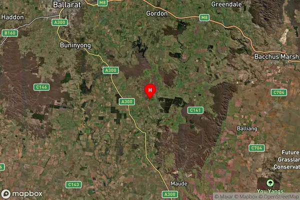
-37.75803Morrisons Suburb Map (Satellite)

Distances
The distance from Morrisons, Ballarat, VIC to AU Greater Capital CitiesSA1 Code 2011
20102101202SA1 Code 2016
20102101202SA2 Code
201021012SA3 Code
20102SA4 Code
201RA 2011
2RA 2016
2MMM 2015
5MMM 2019
5Charge Zone
V2LGA Region
MooraboolLGA Code
25150Electorate
Corangamite