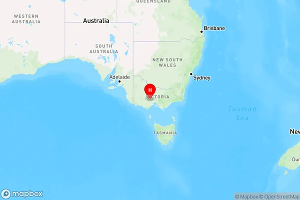
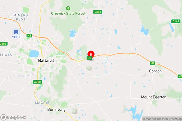
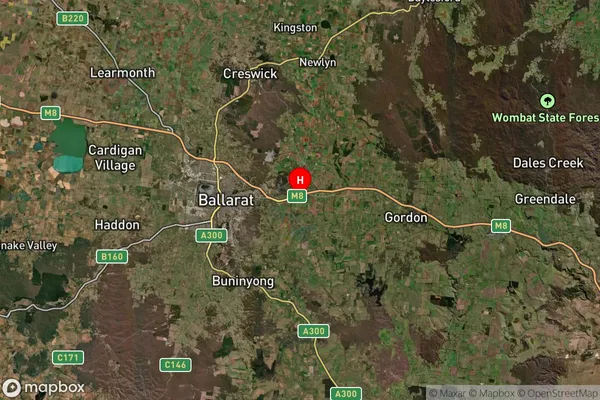
Leigh Creek Area, Leigh Creek Postcode(3352) & Map in Leigh Creek, Ballarat, VIC
Leigh Creek Area, Leigh Creek Postcode(3352) & Map in Leigh Creek, Ballarat, VIC, AU, Postcode: 3352
Leigh Creek, Gordon (Vic.), Creswick - Daylesford - Ballan, Ballarat, Victoria, Australia, 3352
Leigh Creek Postcode
Area Name
Leigh CreekLeigh Creek Suburb Area Map (Polygon)

Leigh Creek Introduction
Leigh Creek is a locality in the City of Ballarat, Victoria, Australia. It is located in the western suburbs of Ballarat, approximately 10 km west of the city center. Leigh Creek is known for its natural beauty, including the Leigh Creek Reservoir and the surrounding Leigh Creek National Park. The area was first settled in the 1830s by gold miners and has since developed into a residential suburb.State Name
City or Big Region
District or Regional Area
Suburb Name
Leigh Creek Region Map

Country
Main Region in AU
R3Coordinates
-37.5622875,143.9623147 (latitude/longitude)Leigh Creek Area Map (Street)

Longitude
143.662387Latitude
-37.482132Leigh Creek Suburb Map (Satellite)

Distances
The distance from Leigh Creek, Ballarat, VIC to AU Greater Capital CitiesSA1 Code 2011
20102101210SA1 Code 2016
20102101210SA2 Code
201021012SA3 Code
20102SA4 Code
201RA 2011
2RA 2016
2MMM 2015
2MMM 2019
2Charge Zone
V2LGA Region
BallaratLGA Code
20570Electorate
Wannon