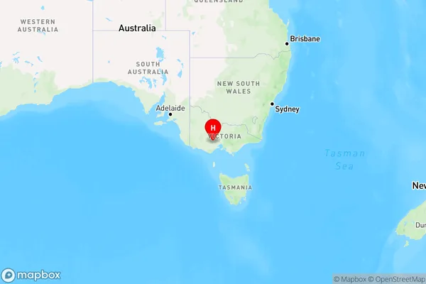
Durham Lead Area, Durham Lead Postcode(3352) & Map in Durham Lead, Ballarat, VIC
Durham Lead Area, Durham Lead Postcode(3352) & Map in Durham Lead, Ballarat, VIC, AU, Postcode: 3352
Durham Lead, Gordon (Vic.), Creswick - Daylesford - Ballan, Ballarat, Victoria, Australia, 3352
Durham Lead Postcode
Area Name
Durham LeadDurham Lead Suburb Area Map (Polygon)

Durham Lead Introduction
Durham Lead is a mine located in Ballarat, Victoria, Australia. It was one of the largest lead and zinc mines in the world during the late 19th and early 20th centuries. The mine closed in 1999, but the site has been preserved as a heritage park. Durham Lead is a significant part of Ballarat's industrial history and is a popular tourist destination.State Name
City or Big Region
District or Regional Area
Suburb Name
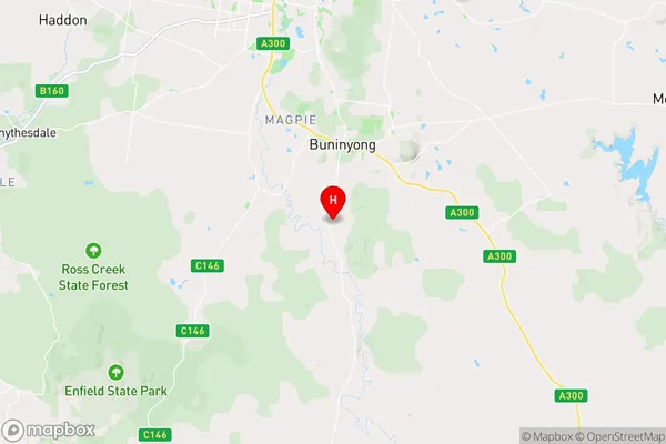
Durham Lead Region Map

Country
Main Region in AU
R3Coordinates
-37.6882095,143.8780526 (latitude/longitude)Durham Lead Area Map (Street)

Longitude
143.662387Latitude
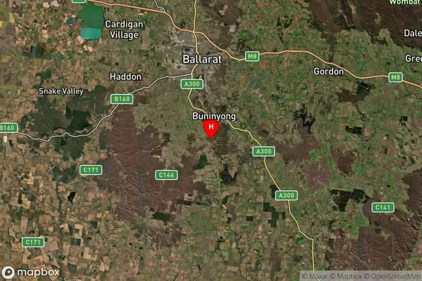
-37.482132Durham Lead Suburb Map (Satellite)

Distances
The distance from Durham Lead, Ballarat, VIC to AU Greater Capital CitiesSA1 Code 2011
20102101203SA1 Code 2016
20102101203SA2 Code
201021012SA3 Code
20102SA4 Code
201RA 2011
2RA 2016
2MMM 2015
2MMM 2019
2Charge Zone
V2LGA Region
BallaratLGA Code
20570Electorate
Wannon