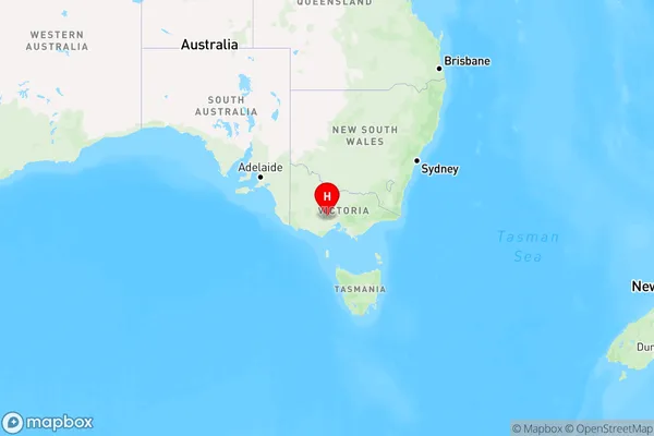
Dunnstown Area, Dunnstown Postcode(3352) & Map in Dunnstown, Ballarat, VIC
Dunnstown Area, Dunnstown Postcode(3352) & Map in Dunnstown, Ballarat, VIC, AU, Postcode: 3352
Dunnstown, Gordon (Vic.), Creswick - Daylesford - Ballan, Ballarat, Victoria, Australia, 3352
Dunnstown Postcode
Area Name
DunnstownDunnstown Suburb Area Map (Polygon)

Dunnstown Introduction
Dunnstown is a small town in the Western District of Victoria, Australia. It is located 30 kilometers north-west of Ballarat and 207 kilometers south-west of Melbourne. The town is surrounded by farmland and has a population of around 200 people. Dunnstown was first settled in the 1850s and was named after the Scottish town of Dunnstown. The town has a post office, a general store, a hotel, and a cricket club. The nearest major town is Bacchus Marsh, which is 10 kilometers away.State Name
City or Big Region
District or Regional Area
Suburb Name
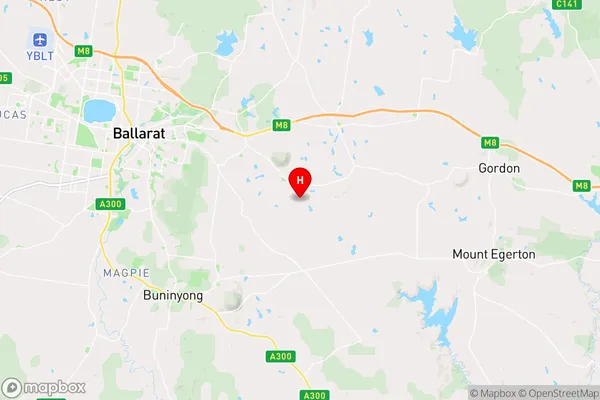
Dunnstown Region Map

Country
Main Region in AU
R3Coordinates
-37.5985239,143.9711539 (latitude/longitude)Dunnstown Area Map (Street)

Longitude
143.662387Latitude
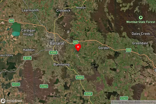
-37.482132Dunnstown Suburb Map (Satellite)

Distances
The distance from Dunnstown, Ballarat, VIC to AU Greater Capital CitiesSA1 Code 2011
20102101208SA1 Code 2016
20102101208SA2 Code
201021012SA3 Code
20102SA4 Code
201RA 2011
2RA 2016
2MMM 2015
2MMM 2019
2Charge Zone
V2LGA Region
BallaratLGA Code
20570Electorate
Wannon