Navigators Area, Navigators Postcode(3352) & Map in Navigators, Ballarat, VIC
Navigators Area, Navigators Postcode(3352) & Map in Navigators, Ballarat, VIC, AU, Postcode: 3352
Navigators, Gordon (Vic.), Creswick - Daylesford - Ballan, Ballarat, Victoria, Australia, 3352
Navigators Postcode
Area Name
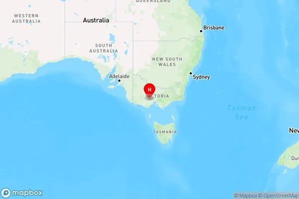
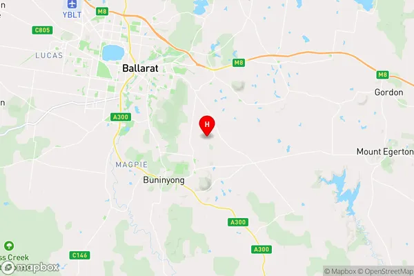
NavigatorsNavigators Suburb Area Map (Polygon)

Navigators Introduction
Navigators is a Christian youth ministry that runs fun and engaging programs for kids and teens in Ballarat, VIC, AU. It provides a safe and supportive environment for young people to explore their faith, make friends, and have fun. The ministry runs a variety of programs, including weekly meetings, camps, and events, and is open to all young people in the community, regardless of their background or beliefs.State Name
City or Big Region
District or Regional Area
Suburb Name
Navigators Region Map

Country
Main Region in AU
R3Coordinates
-37.6172482,143.9269679 (latitude/longitude)Navigators Area Map (Street)

Longitude
143.662387Latitude
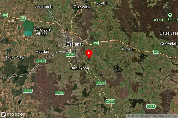
-37.482132Navigators Suburb Map (Satellite)

Distances
The distance from Navigators, Ballarat, VIC to AU Greater Capital CitiesSA1 Code 2011
20102101207SA1 Code 2016
20102101207SA2 Code
201021012SA3 Code
20102SA4 Code
201RA 2011
2RA 2016
2MMM 2015
2MMM 2019
2Charge Zone
V2LGA Region
BallaratLGA Code
20570Electorate
Wannon