Hepburn Area, Hepburn Postcode(3461) & Map in Hepburn, Ballarat, VIC
Hepburn Area, Hepburn Postcode(3461) & Map in Hepburn, Ballarat, VIC, AU, Postcode: 3461
Hepburn, Daylesford, Creswick - Daylesford - Ballan, Ballarat, Victoria, Australia, 3461
Hepburn Postcode
Area Name
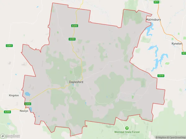
HepburnHepburn Suburb Area Map (Polygon)

Hepburn Introduction
Hepburn is a small township located in the Central Highlands of Victoria, Australia. It is situated approximately 125 kilometers north-west of Melbourne and 35 kilometers south-east of Ballarat. The town is named after the Scottish poet and playwright William Hepburn. Hepburn is known for its beautiful natural surroundings, including the Hepburn Springs and the Mount Macedon Range. It is also home to a number of historic buildings, including the Hepburn Springs Hotel and the Old Courthouse Museum.State Name
City or Big Region
District or Regional Area
Suburb Name
Hepburn Region Map

Country
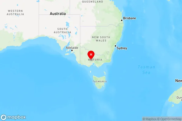
Main Region in AU
R3Coordinates
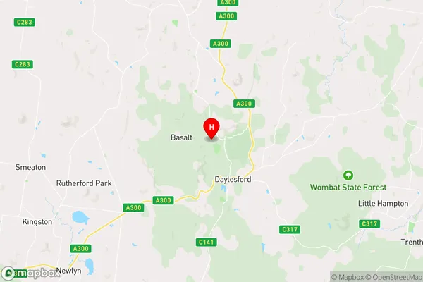
-37.3118233,144.125661 (latitude/longitude)Hepburn Area Map (Street)

Longitude
144.170995Latitude
-37.287848Hepburn Elevation
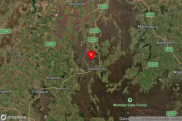
about 499.47 meters height above sea level (Altitude)Hepburn Suburb Map (Satellite)

Distances
The distance from Hepburn, Ballarat, VIC to AU Greater Capital CitiesSA1 Code 2011
20102101120SA1 Code 2016
20102101120SA2 Code
201021011SA3 Code
20102SA4 Code
201RA 2011
2RA 2016
2MMM 2015
5MMM 2019
5Charge Zone
V2LGA Region
HepburnLGA Code
22910Electorate
Bendigo