Chewton Bushlands Area, Chewton Bushlands Postcode(3451) & Map in Chewton Bushlands, Bendigo, VIC
Chewton Bushlands Area, Chewton Bushlands Postcode(3451) & Map in Chewton Bushlands, Bendigo, VIC, AU, Postcode: 3451
Chewton Bushlands, Castlemaine, Heathcote - Castlemaine - Kyneton, Bendigo, Victoria, Australia, 3451
Chewton Bushlands Postcode
Area Name
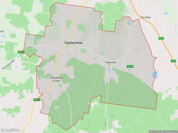
Chewton BushlandsChewton Bushlands Suburb Area Map (Polygon)

Chewton Bushlands Introduction
Chewton Bushlands is a protected area in Bendigo, Victoria, Australia, known for its diverse flora and fauna. It is home to a variety of plant species, including eucalypts, wattles, and grass trees, and is a habitat for many native animals, including kangaroos, wallabies, and echidnas. The bushlands also have a rich cultural history, with evidence of Aboriginal occupation dating back thousands of years. Visitors can enjoy walking trails, picnic areas, and educational programs that highlight the area's natural and cultural heritage.State Name
City or Big Region
District or Regional Area
Suburb Name
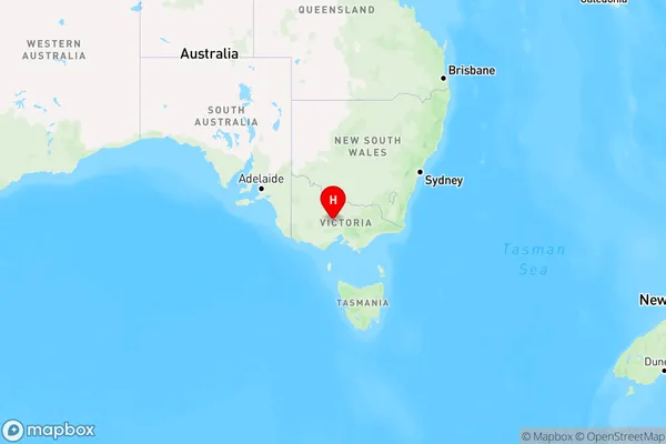
Chewton Bushlands Region Map

Country
Main Region in AU
R3Coordinates
-37.0783424,144.2893459 (latitude/longitude)Chewton Bushlands Area Map (Street)

Longitude
144.21419Latitude
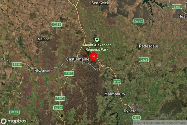
-37.125338Chewton Bushlands Suburb Map (Satellite)

Distances
The distance from Chewton Bushlands, Bendigo, VIC to AU Greater Capital CitiesSA1 Code 2011
20202102712SA1 Code 2016
20202102712SA2 Code
202021027SA3 Code
20202SA4 Code
202RA 2011
2RA 2016
2MMM 2015
4MMM 2019
4Charge Zone
V2LGA Region
Mount AlexanderLGA Code
25430Electorate
Bendigo