Shepherds Flat Area, Shepherds Flat Postcode(3461) & Map in Shepherds Flat, Ballarat, VIC
Shepherds Flat Area, Shepherds Flat Postcode(3461) & Map in Shepherds Flat, Ballarat, VIC, AU, Postcode: 3461
Shepherds Flat, Daylesford, Creswick - Daylesford - Ballan, Ballarat, Victoria, Australia, 3461
Shepherds Flat Postcode
Area Name
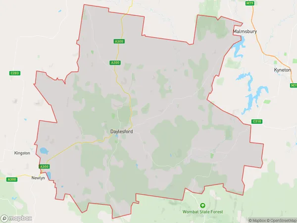
Shepherds FlatShepherds Flat Suburb Area Map (Polygon)

Shepherds Flat Introduction
Shepherds Flat is a locality in the City of Ballarat, Victoria, Australia. It is located in the western part of the city, near the Western Freeway. The area was developed in the late 19th century as a residential suburb for workers in the nearby gold mines. Today, Shepherds Flat is a diverse community with a mix of residential and commercial properties. It is home to a number of parks and recreational facilities, including the Shepherds Flat Reserve and the Ballarat Golf Club.State Name
City or Big Region
District or Regional Area
Suburb Name
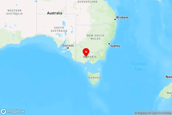
Shepherds Flat Region Map

Country
Main Region in AU
R3Coordinates
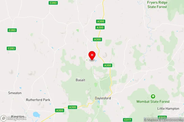
-37.2750015,144.1222545 (latitude/longitude)Shepherds Flat Area Map (Street)

Longitude
144.170995Latitude
-37.287848Shepherds Flat Elevation
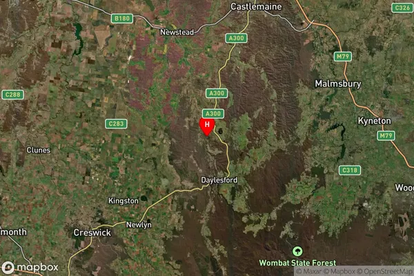
about 499.47 meters height above sea level (Altitude)Shepherds Flat Suburb Map (Satellite)

Distances
The distance from Shepherds Flat, Ballarat, VIC to AU Greater Capital CitiesSA1 Code 2011
20102101120SA1 Code 2016
20102101120SA2 Code
201021011SA3 Code
20102SA4 Code
201RA 2011
2RA 2016
2MMM 2015
5MMM 2019
5Charge Zone
V2LGA Region
HepburnLGA Code
22910Electorate
Bendigo