Golden Point Area, Golden Point Postcode(3451) & Map in Golden Point, Bendigo, VIC
Golden Point Area, Golden Point Postcode(3451) & Map in Golden Point, Bendigo, VIC, AU, Postcode: 3451
Golden Point, Castlemaine, Heathcote - Castlemaine - Kyneton, Bendigo, Victoria, Australia, 3451
Golden Point Postcode
Area Name
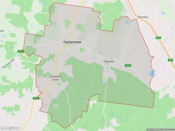
Golden PointGolden Point Suburb Area Map (Polygon)

Golden Point Introduction
Golden Point is a suburb of Bendigo, Victoria, Australia. It is located on the banks of the Bendigo Creek and is known for its beautiful parks, walking trails, and historic buildings. The area was first settled in the 1850s and was named after a gold discovery in the area in 1851. Today, Golden Point is a popular residential area with a mix of modern apartments and historic homes.State Name
City or Big Region
District or Regional Area
Suburb Name
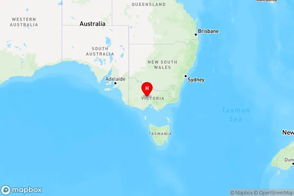
Golden Point Region Map

Country
Main Region in AU
R3Coordinates
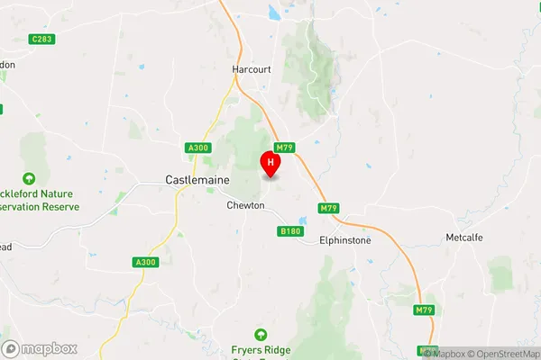
-37.0665813,144.2756927 (latitude/longitude)Golden Point Area Map (Street)

Longitude
144.21419Latitude
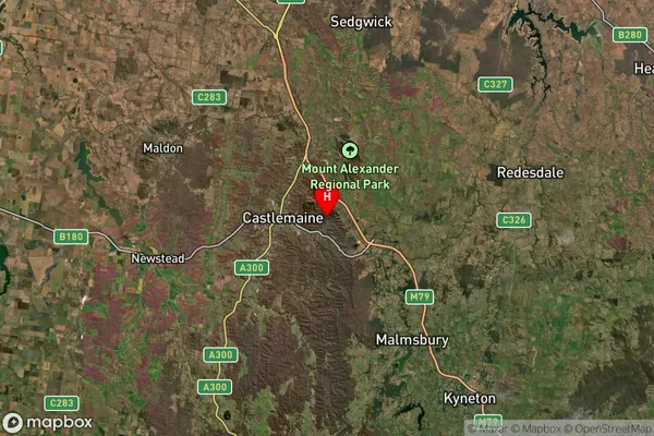
-37.125338Golden Point Suburb Map (Satellite)

Distances
The distance from Golden Point, Bendigo, VIC to AU Greater Capital CitiesSA1 Code 2011
20202102712SA1 Code 2016
20202102712SA2 Code
202021027SA3 Code
20202SA4 Code
202RA 2011
2RA 2016
2MMM 2015
4MMM 2019
4Charge Zone
V2LGA Region
Mount AlexanderLGA Code
25430Electorate
Bendigo