Redcastle Area, Redcastle Postcode(3523) & Map in Redcastle, Bendigo, VIC
Redcastle Area, Redcastle Postcode(3523) & Map in Redcastle, Bendigo, VIC, AU, Postcode: 3523
Redcastle, Heathcote, Heathcote - Castlemaine - Kyneton, Bendigo, Victoria, Australia, 3523
Redcastle Postcode
Area Name
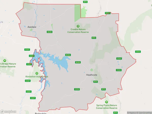
RedcastleRedcastle Suburb Area Map (Polygon)

Redcastle Introduction
Redcastle is a small township located in the Bendigo region of Victoria, Australia. It is situated approximately 12 kilometers north-east of Bendigo and 225 kilometers north-west of Melbourne. The town is named after the Red Castle, which was a fortification built in the 1850s to protect the goldfields from Aboriginal attacks. The Red Castle is now a historic site and a popular tourist attraction.State Name
City or Big Region
District or Regional Area
Suburb Name
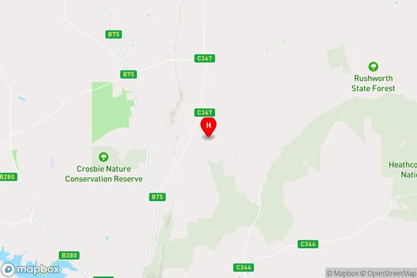
Redcastle Region Map

Country
Main Region in AU
R3Coordinates
-36.7704954,144.7611153 (latitude/longitude)Redcastle Area Map (Street)

Longitude
144.768359Latitude
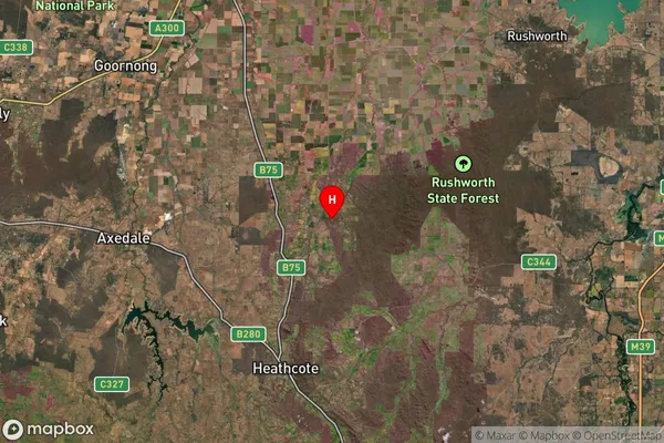
-36.837461Redcastle Suburb Map (Satellite)

Distances
The distance from Redcastle, Bendigo, VIC to AU Greater Capital CitiesSA1 Code 2011
20202102904SA1 Code 2016
20202102904SA2 Code
202021029SA3 Code
20202SA4 Code
202RA 2011
2RA 2016
2MMM 2015
5MMM 2019
5Charge Zone
V2LGA Region
Greater BendigoLGA Code
22620Electorate
Nicholls