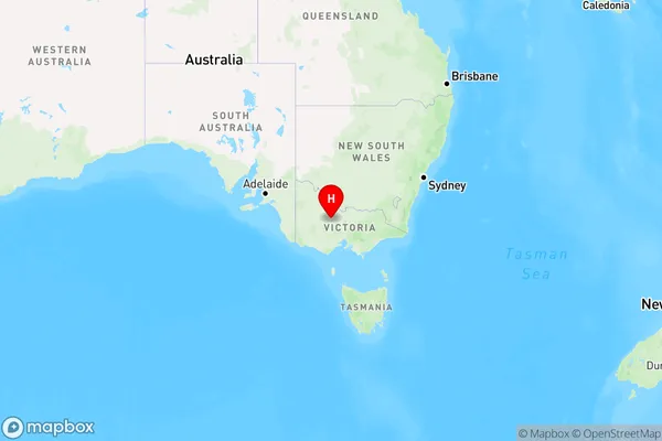
ZipCode 3551 Areas, AU PostCode 3551 Suburbs
Postcode 3551 Suburbs, ZipCode 3551 Areas & Regions in Loddon - Elmore,VIC Australia
There are at least 41 AU suburbs share the same AU PostCode 3551 Suburbs in Loddon - Elmore, Bendigo, Heathcote - Castlemaine - Kyneton, Campaspe, Campbelltown (NSW), Maryborough - Pyrenees.
Postal Code 3551 Regions
The Australia postcode 3551 regions include Loddon, White Hills - Ascot, Bendigo Region - South, Heathcote, Bendigo Region - North, Bendigo, Rushworth, Strathfieldsaye, Maiden Gully, Minto - St Andrews, Maryborough Region in the areas of Loddon - Elmore, Bendigo, Heathcote - Castlemaine - Kyneton, Campaspe, Campbelltown (NSW), Maryborough - Pyrenees, Loddon, These postcode areas are all located in the state Victoria, VIC.
AU PostCode 3551 Suburbs
AU PostCode 3551 suburbs contain Arnold, Arnold West, Ascot, Axe Creek, Axedale, Bagshot, Bagshot North, Bendigo Forward, Cornella, Creek View, Emu Creek, Eppalock, Epsom, Huntly, Huntly North, Junortoun, Kimbolton, Lake Eppalock, Llanelly, Lockwood, Lockwood South, Longlea, Maiden Gully, Mandurang, Mandurang South, Minto, Mosquito Creek, Murphys Creek, Myola, Myola East, Myrtle Creek, Newbridge, Painswick, Pilchers Bridge, Sedgwick, Strathfieldsaye, Tarnagulla, Toolleen, Waanyarra, Wellsford, Woodstock On Loddon, you can check the below link to see the 41 suburbs detailed information.
AU PostCode 3551 Suburbs Map

ZipCode 3551 Areas
1. Arnold
2. Arnold West
3. Ascot
4. Axe Creek
5. Axedale
6. Bagshot
7. Bagshot North
8. Bendigo Forward
9. Cornella
10. Creek View
11. Emu Creek
12. Eppalock
13. Epsom
14. Huntly
15. Huntly North
16. Junortoun
17. Kimbolton
18. Lake Eppalock
19. Llanelly
20. Lockwood
21. Lockwood South
22. Longlea
23. Maiden Gully
24. Mandurang
25. Mandurang South
26. Minto
27. Mosquito Creek
28. Murphys Creek
29. Myola
30. Myola East
31. Myrtle Creek
32. Newbridge
33. Painswick
34. Pilchers Bridge
35. Sedgwick
36. Strathfieldsaye
37. Tarnagulla
38. Toolleen
39. Waanyarra
40. Wellsford
41. Woodstock On Loddon


