Murphys Creek Area, Murphys Creek Postcode(3551) & Map in Murphys Creek, Bendigo, VIC
Murphys Creek Area, Murphys Creek Postcode(3551) & Map in Murphys Creek, Bendigo, VIC, AU, Postcode: 3551
Murphys Creek, Loddon, Loddon - Elmore, Bendigo, Victoria, Australia, 3551
Murphys Creek Postcode
Area Name
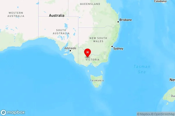
Murphys CreekMurphys Creek Suburb Area Map (Polygon)

Murphys Creek Introduction
Murphys Creek is a locality in the City of Greater Bendigo, Victoria, Australia. It is located in the central part of the city, approximately 6 kilometers from its central business district. The creek flows through the locality and is a popular spot for fishing and swimming. The area has a rich history, with evidence of early European settlement dating back to the 1850s. There are several historic buildings in Murphys Creek, including the Old Bakery, which is now a museum. The locality is also home to a number of parks and recreational facilities, including the Murphys Creek Reserve and the Murphys Creek Trail.State Name
City or Big Region
District or Regional Area
Suburb Name
Murphys Creek Region Map

Country
Main Region in AU
R3Coordinates
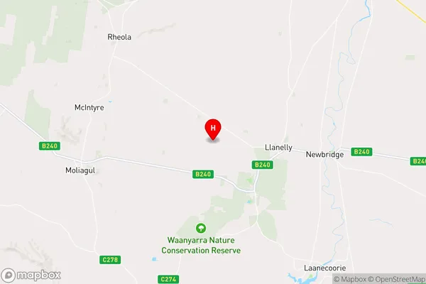
-36.7296066,143.7918468 (latitude/longitude)Murphys Creek Area Map (Street)

Longitude
144.457937Latitude
-36.78137Murphys Creek Elevation
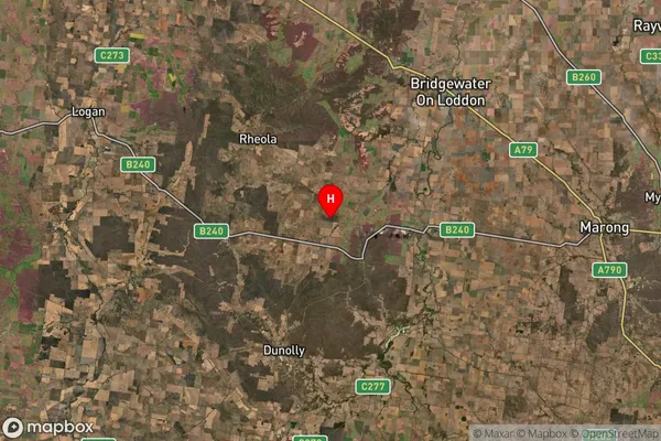
about 188.78 meters height above sea level (Altitude)Murphys Creek Suburb Map (Satellite)

Distances
The distance from Murphys Creek, Bendigo, VIC to AU Greater Capital CitiesSA1 Code 2011
20203103304SA1 Code 2016
20203103304SA2 Code
202031033SA3 Code
20203SA4 Code
202RA 2011
2RA 2016
2MMM 2015
5MMM 2019
5Charge Zone
V2LGA Region
Greater BendigoLGA Code
22620Electorate
Nicholls