Patho Area, Patho Postcode(3564) & Map in Patho, Shepparton, VIC
Patho Area, Patho Postcode(3564) & Map in Patho, Shepparton, VIC, AU, Postcode: 3564
Patho, Lockington - Gunbower, Campaspe, Shepparton, Victoria, Australia, 3564
Patho Postcode
Area Name
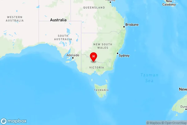
PathoPatho Suburb Area Map (Polygon)

Patho Introduction
Patho is a small township located in the Goulburn Valley region of Victoria, Australia. It is situated approximately 125 kilometers north-east of Melbourne and 10 kilometers south-west of Shepparton. The town is surrounded by farmland and has a population of around 200 people. Patho has a post office, a general store, and a community hall. The town is also home to a cricket club and a football club.State Name
City or Big Region
District or Regional Area
Suburb Name
Patho Region Map

Country
Main Region in AU
R3Coordinates
-35.9890135,144.4266907 (latitude/longitude)Patho Area Map (Street)

Longitude
144.728806Latitude
-36.168997Patho Elevation
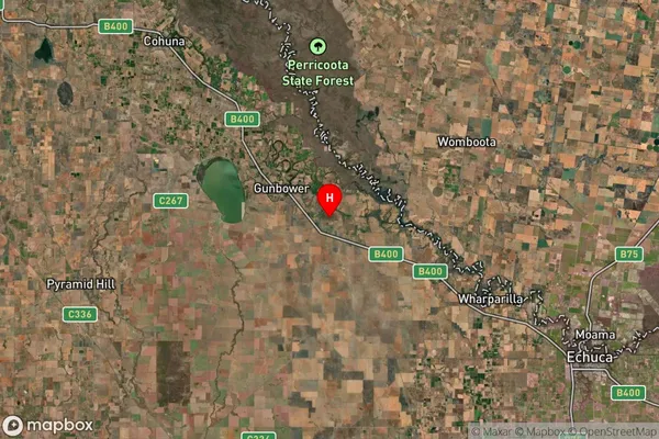
about 100.63 meters height above sea level (Altitude)Patho Suburb Map (Satellite)

Distances
The distance from Patho, Shepparton, VIC to AU Greater Capital CitiesSA1 Code 2011
21601140813SA1 Code 2016
21601140813SA2 Code
216011408SA3 Code
21601SA4 Code
216RA 2011
2RA 2016
2MMM 2015
5MMM 2019
5Charge Zone
V2LGA Region
CampaspeLGA Code
21370Electorate
Nicholls