Fosterville Area, Fosterville Postcode(3557) & Map in Fosterville, Bendigo, VIC
Fosterville Area, Fosterville Postcode(3557) & Map in Fosterville, Bendigo, VIC, AU, Postcode: 3557
Fosterville, Bendigo Region - North, Loddon - Elmore, Bendigo, Victoria, Australia, 3557
Fosterville Postcode
Area Name
FostervilleFosterville Suburb Area Map (Polygon)

Fosterville Introduction
Fosterville is a suburb of Bendigo, Victoria, Australia. It is located in the City of Greater Bendigo local government area. Fosterville was named after the Fosterville gold mine, which operated in the area from 1852 to 1956. The mine was a major source of employment for the local community and contributed to the development of the suburb. Today, Fosterville is a residential area with a mix of houses and apartments. It has a primary school, a post office, a supermarket, and a variety of local shops and cafes. The suburb is also home to the Fosterville Football Club and the Fosterville Cricket Club.State Name
City or Big Region
District or Regional Area
Suburb Name
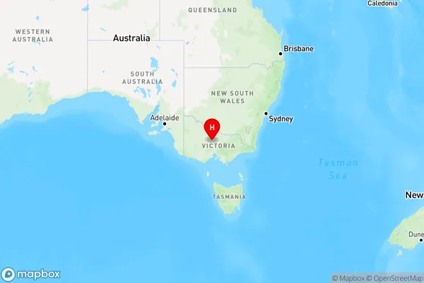
Fosterville Region Map

Country
Main Region in AU
R3Coordinates
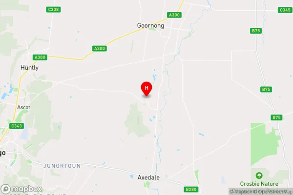
-36.6967411,144.4992156 (latitude/longitude)Fosterville Area Map (Street)

Longitude
144.576787Latitude
-36.63511Fosterville Elevation
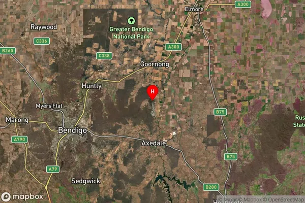
about 149.79 meters height above sea level (Altitude)Fosterville Suburb Map (Satellite)

Distances
The distance from Fosterville, Bendigo, VIC to AU Greater Capital CitiesSA1 Code 2011
20203103212SA1 Code 2016
20203103212SA2 Code
202031032SA3 Code
20203SA4 Code
202RA 2011
2RA 2016
2MMM 2015
2MMM 2019
2Charge Zone
V2LGA Region
Greater BendigoLGA Code
22620Electorate
Nicholls