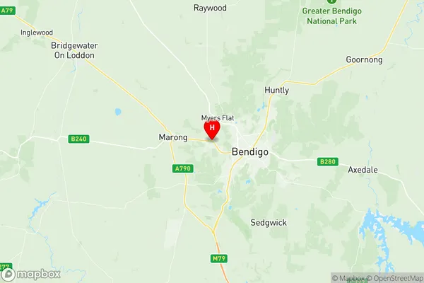
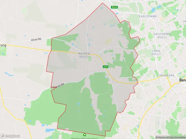
Maiden Gully Suburbs & Region, Maiden Gully Map & Postcodes
Maiden Gully Suburbs & Region, Maiden Gully Map & Postcodes in Maiden Gully, Campaspe, Shepparton, VIC, AU
Maiden Gully Region
Region Name
Maiden Gully (VIC, AU)Maiden Gully Area
42.98 square kilometers (42.98 ㎢)Postal Codes
3551 (In total, there are 1 postcodes in Maiden Gully.)Maiden Gully Introduction
Maiden Gully is a locality in the city of Shepparton, Victoria, Australia. It is located in the Goulburn Valley region and is named after the Maiden Gully Creek, which flows through the area. The locality is primarily residential and is home to a number of schools, parks, and recreational facilities. It is also home to the Shepparton Golf Club and the Shepparton Sports Stadium. Maiden Gully is located approximately 10 kilometers north-east of the city center of Shepparton and is served by the Shepparton railway station.Australia State
City or Big Region
Greater Capital City
Rest of Vic. (2RVIC)District or Regional Area
Suburb Name
Maiden Gully Region Map

Maiden Gully Postcodes / Zip Codes
Maiden Gully Suburbs
Maiden Gully full address
Maiden Gully, Campaspe, Shepparton, Victoria, VIC, Australia, SaCode: 202011023Country
Maiden Gully, Campaspe, Shepparton, Victoria, VIC, Australia, SaCode: 202011023
Maiden Gully Suburbs & Region, Maiden Gully Map & Postcodes has 0 areas or regions above, and there are 1 Maiden Gully suburbs below. The sa2code for the Maiden Gully region is 202011023. Its latitude and longitude coordinates are -36.743,144.209. Maiden Gully area belongs to Australia's greater capital city Rest of Vic..
Maiden Gully Suburbs & Localities
1. Maiden Gully
