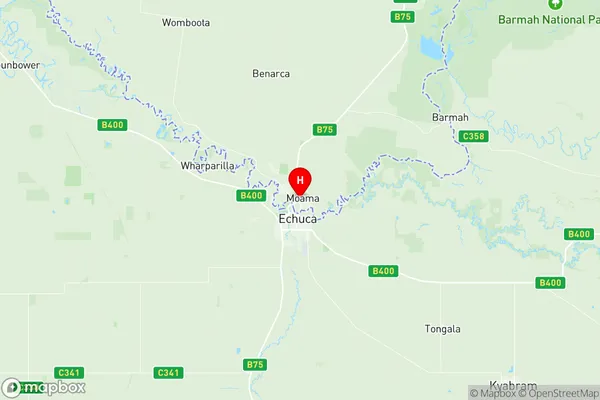
Moama Suburbs & Region, Moama Map & Postcodes
Moama Suburbs & Region, Moama Map & Postcodes in Moama, Campaspe, Shepparton, NSW, AU
Moama Region
Region Name
Moama (NSW, AU)Moama Area
167.01 square kilometers (167.01 ㎢)Postal Codes
2710, and 2731 (In total, there are 2 postcodes in Moama.)Moama Introduction
Moama is a small town located on the Murray River in the Shire of Moama, New South Wales, Australia. It is situated approximately 250 kilometers south-west of Melbourne and 12 kilometers north-east of Shepparton. The town has a population of around 3,000 people and is known for its historic bridge, which spans the Murray River. The bridge was built in 1916 and is a popular tourist attraction. Moama also has a number of parks and recreational facilities, including a golf course and a swimming pool. The town is surrounded by farmland and is a popular destination for fishing and boating.Australia State
City or Big Region
Greater Capital City
Rest of NSW (1RNSW)District or Regional Area
Suburb Name
Moama Region Map

Moama Postcodes / Zip Codes
Moama Suburbs
Moama full address
Moama, Campaspe, Shepparton, New South Wales, NSW, Australia, SaCode: 109031184Country
Moama, Campaspe, Shepparton, New South Wales, NSW, Australia, SaCode: 109031184
Moama Suburbs & Region, Moama Map & Postcodes has 0 areas or regions above, and there are 2 Moama suburbs below. The sa2code for the Moama region is 109031184. Its latitude and longitude coordinates are -36.1074,144.755. Moama area belongs to Australia's greater capital city Rest of NSW.
Moama Suburbs & Localities
1. Benarca
2. Moama
