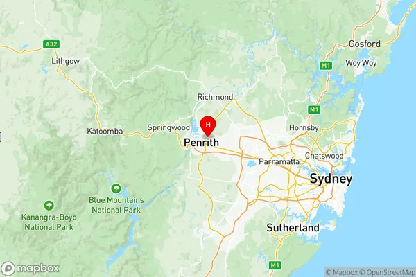
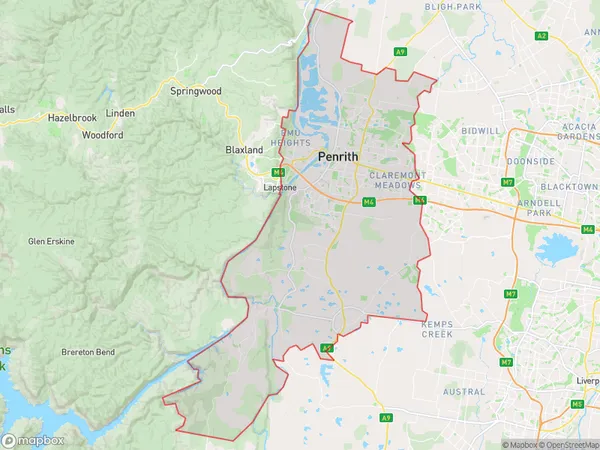
Penrith Suburbs & Region, Penrith Map & Postcodes
Penrith Suburbs & Region, Penrith Map & Postcodes in Penrith, Sydney Outer West and Blue Mountains, NSW, AU
Penrith Region
Region Name
Penrith (NSW, AU)Penrith Area
356.86 square kilometers (356.86 ㎢)Postal Codes
2747, from 2749 to 2751, and 2787 (In total, there are 5 postcodes in Penrith.)Penrith Introduction
Penrith is a large city located in the western suburbs of Sydney, New South Wales, Australia. It is situated in the Cumberland Plain and is part of the Greater Western Sydney region. The city is home to a population of over 500,000 people and is known for its vibrant cultural scene, shopping malls, and recreational facilities. Penrith is also home to the Penrith Panthers, a National Rugby League team that competes in the competition's top tier. The city is surrounded by beautiful natural scenery, including the Blue Mountains and the Nepean River. It is a popular destination for outdoor enthusiasts, with many parks, trails, and gardens to explore.Australia State
City or Big Region
District or Regional Area
Penrith Region Map

Penrith Postcodes / Zip Codes
Penrith Suburbs
Castlereagh Cranebrook
Jamisontown South Penrith
Cranebrook Castlereagh
Jordan Springs Llandilo
Penrith full address
Penrith, Sydney Outer West and Blue Mountains, New South Wales, NSW, Australia, SaCode: 12403Country
Penrith, Sydney Outer West and Blue Mountains, New South Wales, NSW, Australia, SaCode: 12403
Penrith Suburbs & Region, Penrith Map & Postcodes has 9 areas or regions above, and there are 44 Penrith suburbs below. The sa3code for the Penrith region is 12403. Its latitude and longitude coordinates are -33.738,150.721.
Penrith Suburbs & Localities
1. Cambridge Gardens
2. Claremont Meadows
3. Jordan Springs
4. Caddens
5. Cambridge Park
6. Kingswood
7. Shane Park
8. Werrington Downs
9. Emu Plains
10. Jamisontown
11. Leonay
12. Penrith
13. Castlereagh
14. Cranebrook
15. Emu Heights
16. South Penrith
17. Black Springs
18. Gingkin
19. Jaunter
20. Kanangra
21. Porters Retreat
22. Shooters Hill
23. Tarana
24. The Meadows
25. Chatham Valley
26. Essington
27. Shanes Park
28. Werrington County
29. Penrith
30. Penrith Plaza
31. Penrith South
32. Llandilo
33. Werrington
34. Mayfield
35. Mount Olive
36. Mount Werong
37. Norway
38. Oberon
39. Duckmaloi
40. Edith
41. Gurnang
42. Hazelgrove
43. Mozart
44. Yerranderie
