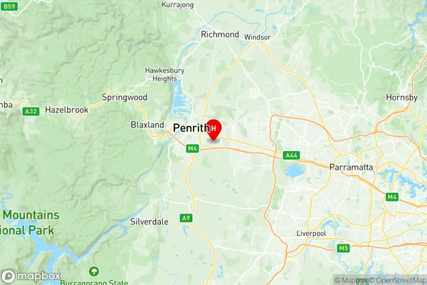
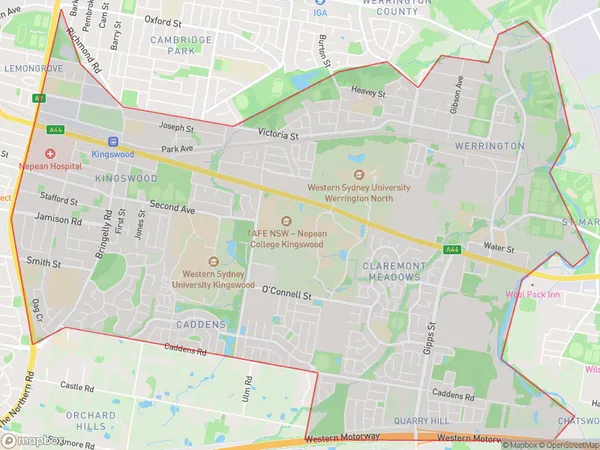
Kingswood Werrington Suburbs & Region, Kingswood Werrington Map & Postcodes
Kingswood Werrington Suburbs & Region, Kingswood Werrington Map & Postcodes in Kingswood Werrington, Penrith, Sydney Outer West and Blue Mountains, NSW, AU
Kingswood Werrington Region
Region Name
Kingswood Werrington (NSW, AU)Kingswood Werrington Area
14.02 square kilometers (14.02 ㎢)Postal Codes
2747 (In total, there are 1 postcodes in Kingswood Werrington.)Kingswood Werrington Introduction
Kingswood Werrington is a suburb in the local government area of the City of Canada Bay, located in Sydney, New South Wales, Australia. It is part of the Greater Western Sydney region. Kingswood Werrington is named after the former Werrington County, which was a county of the old County of Cumberland. The suburb is located 26 kilometers west of the Sydney central business district and is bordered by the suburbs of Werrington, Dundas, Glenorie, and Glenwood. The suburb has a population of around 11,000 people and is home to a variety of facilities, including a shopping center, a library, a community center, and a number of parks and recreational facilities. The area is known for its scenic bushland and picturesque views, and is popular with outdoor enthusiasts and families. The suburb is also home to a number of schools, including Kingswood Public School, Werrington County Public School, and St John's Catholic Primary School.Australia State
City or Big Region
Greater Capital City
Greater Sydney (1GSYD)District or Regional Area
Suburb Name
Kingswood Werrington Region Map

Kingswood Werrington Postcodes / Zip Codes
Kingswood Werrington Suburbs
Kingswood Werrington full address
Kingswood Werrington, Penrith, Sydney Outer West and Blue Mountains, New South Wales, NSW, Australia, SaCode: 124031462Country
Kingswood Werrington, Penrith, Sydney Outer West and Blue Mountains, New South Wales, NSW, Australia, SaCode: 124031462
Kingswood Werrington Suburbs & Region, Kingswood Werrington Map & Postcodes has 0 areas or regions above, and there are 5 Kingswood Werrington suburbs below. The sa2code for the Kingswood Werrington region is 124031462. Its latitude and longitude coordinates are -33.7745,150.737. Kingswood Werrington area belongs to Australia's greater capital city Greater Sydney.
Kingswood Werrington Suburbs & Localities
1. Claremont Meadows
2. Caddens
3. Kingswood
4. Shane Park
5. Werrington
