Caddens Area, Caddens Postcode(2747) & Map in Caddens, Sydney - Outer West and Blue Mountains, NSW
Caddens Area, Caddens Postcode(2747) & Map in Caddens, Sydney - Outer West and Blue Mountains, NSW, AU, Postcode: 2747
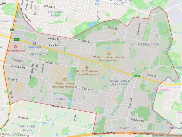
Caddens, Kingswood - Werrington, Penrith, Sydney - Outer West and Blue Mountains, New South Wales, Australia, 2747
Caddens Postcode
Area Name
CaddensCaddens Suburb Area Map (Polygon)
Caddens Introduction
Caddens is a suburb in the Outer West and Blue Mountains of New South Wales, Australia, located 50 kilometers west of the Sydney central business district. It is known for its natural beauty, including the Blue Mountains National Park and the Nepean River. Caddens has a population of approximately 10,000 people and is home to a variety of amenities, including schools, shops, and parks.State Name
City or Big Region
District or Regional Area
Suburb Name
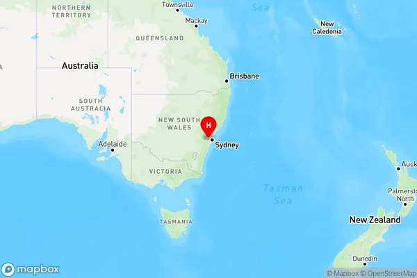
Caddens Region Map
Country
Main Region in AU
R1Coordinates
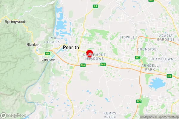
-33.7745,150.737 (latitude/longitude)Caddens Area Map (Street)
Longitude
150.7376907Latitude
-33.77413222Caddens Elevation
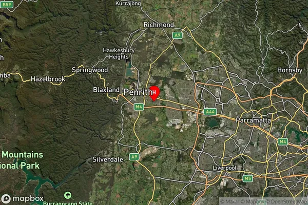
about 44.75 meters height above sea level (Altitude)Caddens Suburb Map (Satellite)
Distances
The distance from Caddens, Sydney - Outer West and Blue Mountains, NSW to AU Greater Capital CitiesSA1 Code 2011
12403146211SA1 Code 2016
12403146211SA2 Code
124031462SA3 Code
12403SA4 Code
124RA 2011
1RA 2016
1MMM 2015
1MMM 2019
1Charge Zone
N1LGA Region
PenrithLGA Code
16350Electorate
Lindsay