Penrith Area, Penrith Postcode(2750) & Map in Penrith, Sydney - Outer West and Blue Mountains, NSW
Penrith Area, Penrith Postcode(2750) & Map in Penrith, Sydney - Outer West and Blue Mountains, NSW, AU, Postcode: 2750
Penrith, Penrith, Penrith, Sydney - Outer West and Blue Mountains, New South Wales, Australia, 2750
Penrith Postcode
Area Name
PenrithPenrith Suburb Area Map (Polygon)

Penrith Introduction
Penrith is a large suburb located in the western suburbs of Sydney, in the state of New South Wales, Australia. It is situated 50 kilometers west of the Sydney central business district and is part of the Greater Western Sydney region. The suburb is home to a diverse population and is known for its vibrant cultural scene, with a number of museums, galleries, and theatres. It is also home to a number of major shopping centers, including Westfield Penrith and Penrith Plaza.State Name
City or Big Region
District or Regional Area
Suburb Name
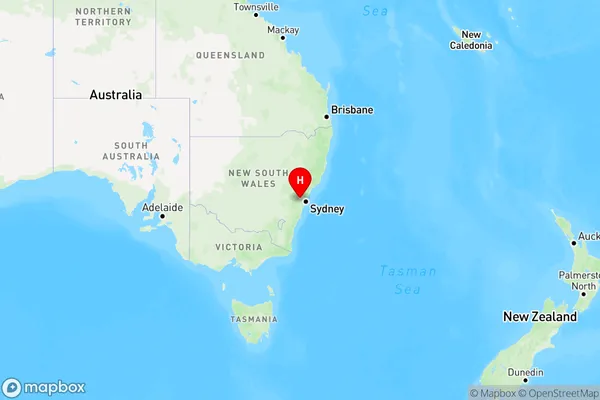
Penrith Region Map
Country
Main Region in AU
R1Coordinates
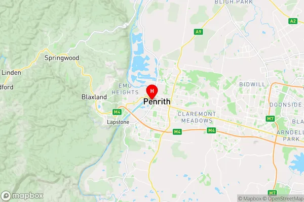
-33.7506759,150.687674 (latitude/longitude)Penrith Area Map (Street)
Longitude
150.678551Latitude
-33.755476Penrith Elevation
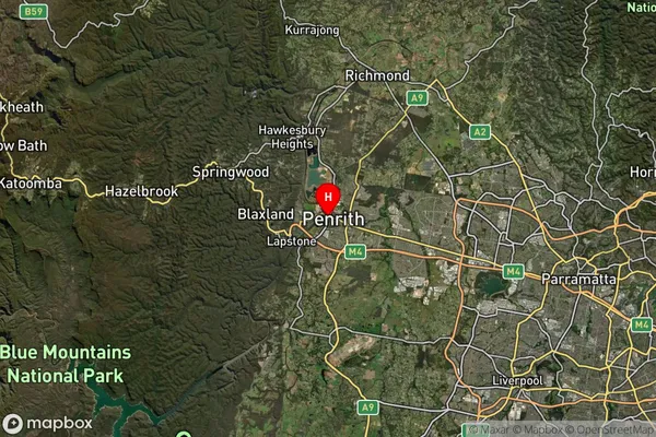
about 24.40 meters height above sea level (Altitude)Penrith Suburb Map (Satellite)
Distances
The distance from Penrith, Sydney - Outer West and Blue Mountains, NSW to AU Greater Capital CitiesSA1 Code 2011
12403146424SA1 Code 2016
12403146424SA2 Code
124031464SA3 Code
12403SA4 Code
124RA 2011
1RA 2016
1MMM 2015
1MMM 2019
1Charge Zone
N1LGA Region
PenrithLGA Code
16350Electorate
Lindsay