Llandilo Area, Llandilo Postcode(2747) & Map in Llandilo, Sydney - Outer West and Blue Mountains, NSW
Llandilo Area, Llandilo Postcode(2747) & Map in Llandilo, Sydney - Outer West and Blue Mountains, NSW, AU, Postcode: 2747
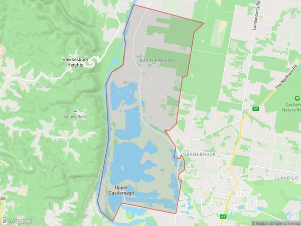
Llandilo, Castlereagh - Cranebrook, Penrith, Sydney - Outer West and Blue Mountains, New South Wales, Australia, 2747
Llandilo Postcode
Area Name
LlandiloLlandilo Suburb Area Map (Polygon)
Llandilo Introduction
Llandilo is a suburb in the local government area of the City of Canada Bay, located in Sydney's outer west and Blue Mountains region. It is situated 37 kilometres west of Sydney's central business district. Llandilo is known for its historic homes and gardens, including the Llandilo Mansion, which is a heritage-listed site. The suburb has a peaceful atmosphere and is surrounded by natural beauty, including the Blue Mountains National Park. It is a popular destination for outdoor activities such as hiking, cycling, and picnicking.State Name
City or Big Region
District or Regional Area
Suburb Name
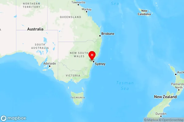
Llandilo Region Map
Country
Main Region in AU
R1Coordinates
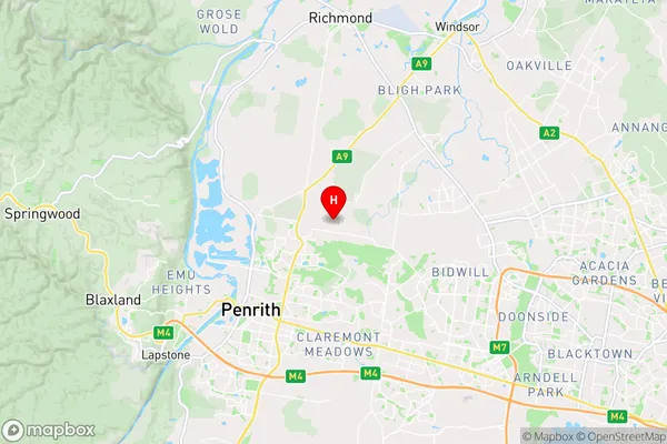
-33.7061,150.7453 (latitude/longitude)Llandilo Area Map (Street)
Longitude
150.739398Latitude
-33.722323Llandilo Elevation
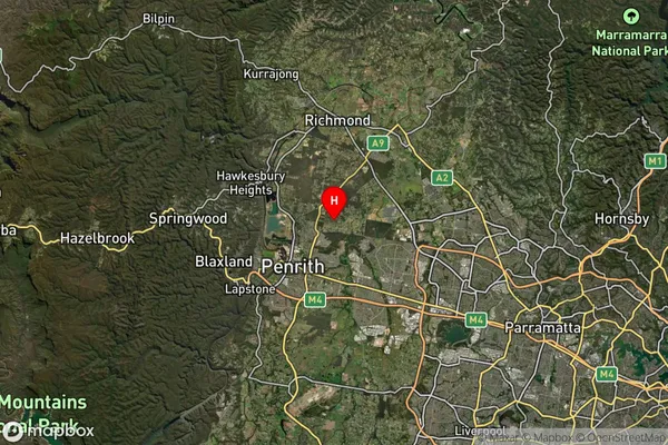
about 44.75 meters height above sea level (Altitude)Llandilo Suburb Map (Satellite)
Distances
The distance from Llandilo, Sydney - Outer West and Blue Mountains, NSW to AU Greater Capital CitiesSA1 Code 2011
12403145810SA1 Code 2016
12403145810SA2 Code
124031458SA3 Code
12403SA4 Code
124RA 2011
1RA 2016
1MMM 2015
1MMM 2019
1Charge Zone
N1LGA Region
PenrithLGA Code
16350Electorate
Lindsay