Cranebrook Area, Cranebrook Postcode(2749) & Map in Cranebrook, Sydney - Outer West and Blue Mountains, NSW
Cranebrook Area, Cranebrook Postcode(2749) & Map in Cranebrook, Sydney - Outer West and Blue Mountains, NSW, AU, Postcode: 2749
Cranebrook, Castlereagh - Cranebrook, Penrith, Sydney - Outer West and Blue Mountains, New South Wales, Australia, 2749
Cranebrook Postcode
Area Name
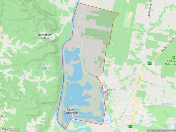
CranebrookCranebrook Suburb Area Map (Polygon)
Cranebrook Introduction
Cranebrook is a suburb in the City of Blue Mountains, located in the state of New South Wales, Australia. It is situated 65 kilometers west of Sydney's central business district and is part of the Greater Western Sydney region. The suburb is known for its scenic surroundings, including the Blue Mountains National Park, which is a World Heritage Site. Cranebrook has a population of approximately 11,000 people and is home to a variety of residential properties, including detached houses, townhouses, and apartments. The suburb has a number of amenities, including a shopping center, a library, a community center, and a medical center.State Name
City or Big Region
District or Regional Area
Suburb Name
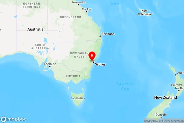
Cranebrook Region Map
Country
Main Region in AU
R1Coordinates
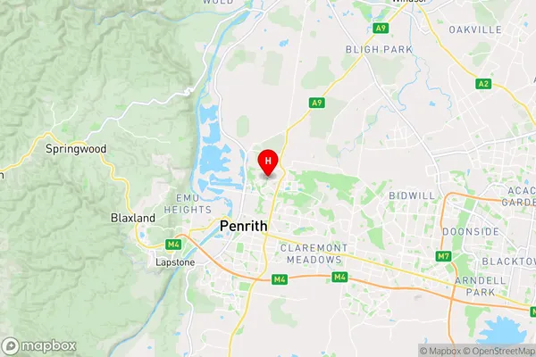
-33.72088,150.71302 (latitude/longitude)Cranebrook Area Map (Street)
Longitude
150.686816Latitude
-33.702167Cranebrook Suburb Map (Satellite)

Distances
The distance from Cranebrook, Sydney - Outer West and Blue Mountains, NSW to AU Greater Capital CitiesSA1 Code 2011
12403145816SA1 Code 2016
12403145816SA2 Code
124031458SA3 Code
12403SA4 Code
124RA 2011
1RA 2016
1MMM 2015
1MMM 2019
1Charge Zone
N1LGA Region
PenrithLGA Code
16350Electorate
Lindsay