Penrith Plaza Area, Penrith Plaza Postcode(2750) & Map in Penrith Plaza, Sydney - Outer West and Blue Mountains, NSW
Penrith Plaza Area, Penrith Plaza Postcode(2750) & Map in Penrith Plaza, Sydney - Outer West and Blue Mountains, NSW, AU, Postcode: 2750
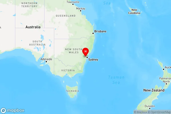
Penrith Plaza, Penrith, Penrith, Sydney - Outer West and Blue Mountains, New South Wales, Australia, 2750
Penrith Plaza Postcode
Area Name
Penrith PlazaPenrith Plaza Suburb Area Map (Polygon)

Penrith Plaza Introduction
Penrith Plaza is a major shopping centre located in the western suburbs of Sydney, in the state of New South Wales, Australia. It is situated in the heart of the Penrith region and is easily accessible from the Western Highway. The centre offers a wide range of shopping options, including major retailers such as Coles, Woolworths, Aldi, Kmart, Target, and many more. It also features a food court, cinema, and a variety of specialty stores. Penrith Plaza is a popular destination for locals and tourists alike, with plenty of parking and easy access to public transportation.State Name
City or Big Region
District or Regional Area
Suburb Name
Penrith Plaza Region Map
Country
Main Region in AU
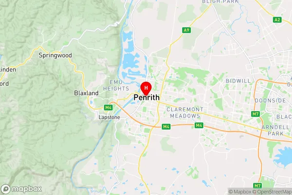
R1Coordinates
-33.7513421,150.6934793 (latitude/longitude)Penrith Plaza Area Map (Street)
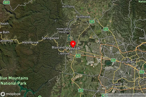
Longitude
150.678551Latitude
-33.755476Penrith Plaza Elevation
about 24.40 meters height above sea level (Altitude)Penrith Plaza Suburb Map (Satellite)
Distances
The distance from Penrith Plaza, Sydney - Outer West and Blue Mountains, NSW to AU Greater Capital CitiesSA1 Code 2011
12403146426SA1 Code 2016
12403146426SA2 Code
124031464SA3 Code
12403SA4 Code
124RA 2011
1RA 2016
1MMM 2015
1MMM 2019
1Charge Zone
N1LGA Region
PenrithLGA Code
16350Electorate
Lindsay