Leonay Area, Leonay Postcode(2750) & Map in Leonay, Sydney - Outer West and Blue Mountains, NSW
Leonay Area, Leonay Postcode(2750) & Map in Leonay, Sydney - Outer West and Blue Mountains, NSW, AU, Postcode: 2750
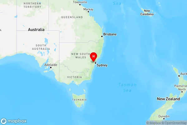
Leonay, Emu Plains - Leonay, Penrith, Sydney - Outer West and Blue Mountains, New South Wales, Australia, 2750
Leonay Postcode
Area Name
LeonayLeonay Suburb Area Map (Polygon)

Leonay Introduction
Leonay is a suburb in the City of Blue Mountains, located 60 kilometres west of Sydney's central business district. It is part of the Greater Western Sydney region and is known for its scenic beauty, including the Blue Mountains National Park. The suburb has a population of around 10,000 people and is home to a variety of residential properties, including apartments, townhouses, and detached homes. Leonay has a number of amenities, including a shopping centre, a library, a community centre, and a hospital. It is also well-connected to public transport, with bus services to Sydney and the Blue Mountains.State Name
City or Big Region
District or Regional Area
Suburb Name
Leonay Region Map
Country
Main Region in AU
R1Coordinates
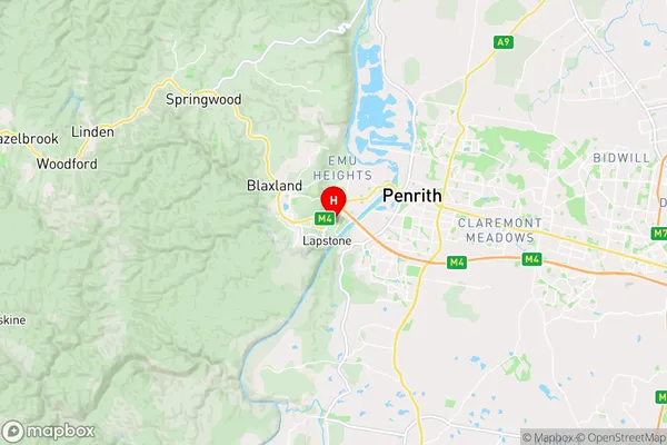
-33.76506,150.64568 (latitude/longitude)Leonay Area Map (Street)
Longitude
150.678551Latitude
-33.755476Leonay Elevation
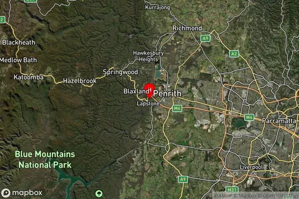
about 24.40 meters height above sea level (Altitude)Leonay Suburb Map (Satellite)
Distances
The distance from Leonay, Sydney - Outer West and Blue Mountains, NSW to AU Greater Capital CitiesSA1 Code 2011
12403145925SA1 Code 2016
12403145925SA2 Code
124031459SA3 Code
12403SA4 Code
124RA 2011
1RA 2016
1MMM 2015
1MMM 2019
1Charge Zone
N1LGA Region
PenrithLGA Code
16350Electorate
Lindsay