South Penrith Area, South Penrith Postcode(2750) & Map in South Penrith, Sydney - Outer West and Blue Mountains, NSW
South Penrith Area, South Penrith Postcode(2750) & Map in South Penrith, Sydney - Outer West and Blue Mountains, NSW, AU, Postcode: 2750
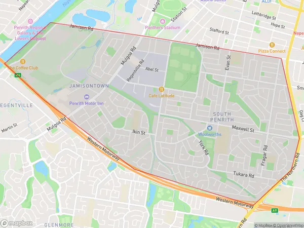
South Penrith, Jamisontown - South Penrith, Penrith, Sydney - Outer West and Blue Mountains, New South Wales, Australia, 2750
South Penrith Postcode
Area Name
South PenrithSouth Penrith Suburb Area Map (Polygon)
South Penrith Introduction
South Penrith is a suburb of Sydney, located in the state of New South Wales, Australia. It is situated in the local government area of the City of Penrith and is part of the Greater Western Sydney region. South Penrith is known for its large population and diverse culture. It is home to a number of parks, including Penrith Lakes and Werrington County Park, as well as a variety of shopping centers and restaurants. The suburb is also well-connected to other parts of Sydney, with easy access to the M4 motorway and the Westlink M7 motorway.State Name
City or Big Region
District or Regional Area
Suburb Name
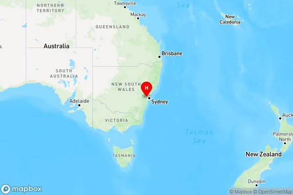
South Penrith Region Map
Country
Main Region in AU
R1Coordinates
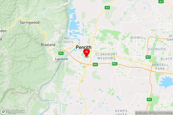
-33.7715054,150.7011034 (latitude/longitude)South Penrith Area Map (Street)
Longitude
150.678551Latitude
-33.755476South Penrith Elevation
about 24.40 meters height above sea level (Altitude)South Penrith Suburb Map (Satellite)
Not available for nowDistances
The distance from South Penrith, Sydney - Outer West and Blue Mountains, NSW to AU Greater Capital CitiesSA1 Code 2011
12403146120SA1 Code 2016
12403146120SA2 Code
124031461SA3 Code
12403SA4 Code
124RA 2011
1RA 2016
1MMM 2015
1MMM 2019
1Charge Zone
N1LGA Region
PenrithLGA Code
16350Electorate
Lindsay