Jamisontown South Penrith Suburbs & Region, Jamisontown South Penrith Map & Postcodes
Jamisontown South Penrith Suburbs & Region, Jamisontown South Penrith Map & Postcodes in Jamisontown South Penrith, Penrith, Sydney Outer West and Blue Mountains, NSW, AU
Jamisontown South Penrith Region
Region Name
Jamisontown South Penrith (NSW, AU)Jamisontown South Penrith Area
9.02 square kilometers (9.02 ㎢)Postal Codes
2750 (In total, there are 1 postcodes in Jamisontown South Penrith.)Jamisontown South Penrith Introduction
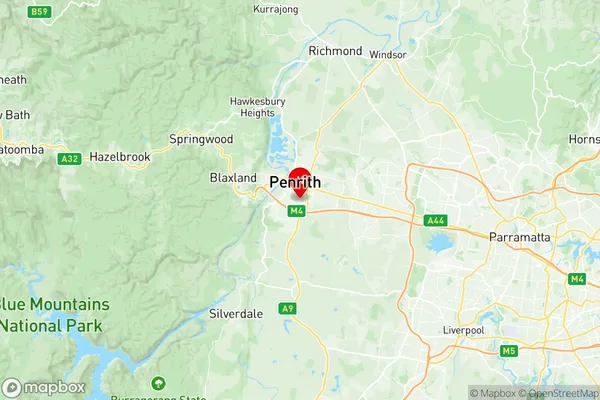
Jamisontown South Penrith is a suburb located in the local government area of the City of Penrith and is part of the Western Sydney region. It is situated 39 kilometers west of Sydney's central business district and is bordered by the suburbs of Werrington, St Marys, Emu Plains, and Glenmore Park. The suburb is named after the Jamison family, who were early settlers in the area. Jamisontown South Penrith is a relatively new suburb, with most of the development occurring in the late 1990s and early 2000s. The suburb has a mix of residential and commercial properties, with a large shopping center, a hospital, and several parks and recreational facilities. The area is also home to a number of schools, including Jamison Public School and Penrith Christian School. The suburb is well-connected to public transport, with the Jamison railway station located on the Main Western line and several bus routes serving the area. The suburb is also within easy driving distance of the Blue Mountains and the Western Sydney Airport. In conclusion, Jamisontown South Penrith is a vibrant and growing suburb located in the western suburbs of Sydney. It is a popular location for families and professionals alike, with a mix of residential and commercial properties, excellent public transport links, and a range of recreational facilities.Australia State
City or Big Region
Greater Capital City
Greater Sydney (1GSYD)District or Regional Area
Suburb Name
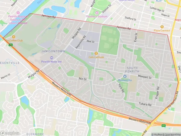
Jamisontown South Penrith Region Map

Jamisontown South Penrith Postcodes / Zip Codes
Jamisontown South Penrith Suburbs
Jamisontown South Penrith full address
Jamisontown South Penrith, Penrith, Sydney Outer West and Blue Mountains, New South Wales, NSW, Australia, SaCode: 124031461Country
Jamisontown South Penrith, Penrith, Sydney Outer West and Blue Mountains, New South Wales, NSW, Australia, SaCode: 124031461
Jamisontown South Penrith Suburbs & Region, Jamisontown South Penrith Map & Postcodes has 0 areas or regions above, and there are 3 Jamisontown South Penrith suburbs below. The sa2code for the Jamisontown South Penrith region is 124031461. Its latitude and longitude coordinates are -33.7715,150.701. Jamisontown South Penrith area belongs to Australia's greater capital city Greater Sydney.
Jamisontown South Penrith Suburbs & Localities
1. Jamisontown
2. South Penrith
3. Penrith South
