Jamisontown Area, Jamisontown Postcode(2750) & Map in Jamisontown, Sydney - Outer West and Blue Mountains, NSW
Jamisontown Area, Jamisontown Postcode(2750) & Map in Jamisontown, Sydney - Outer West and Blue Mountains, NSW, AU, Postcode: 2750
Jamisontown, Jamisontown - South Penrith, Penrith, Sydney - Outer West and Blue Mountains, New South Wales, Australia, 2750
Jamisontown Postcode
Area Name
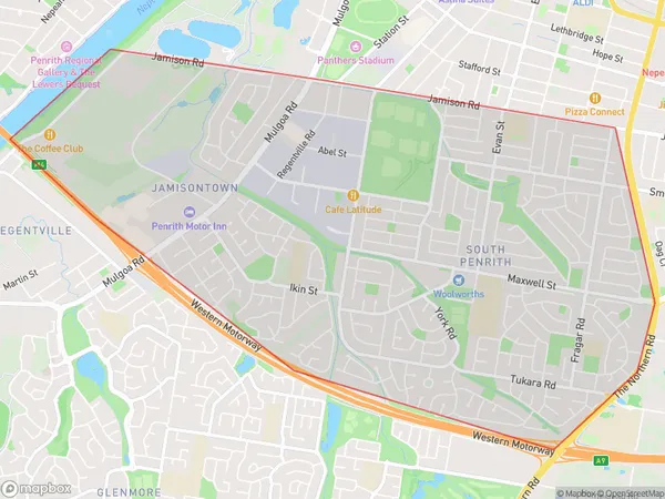
JamisontownJamisontown Suburb Area Map (Polygon)
Jamisontown Introduction
Jamisontown is a suburb in the City of Blue Mountains, located in the state of New South Wales, Australia. It is situated in the outer western suburbs of Sydney and is known for its scenic views of the Blue Mountains. The suburb is home to a variety of residential properties, including houses, apartments, and townhouses. It also has a number of parks and recreational facilities, including a golf course, a tennis court, and a swimming pool. Jamisontown is located approximately 60 kilometers west of Sydney's central business district and is served by several bus routes and train stations.State Name
City or Big Region
District or Regional Area
Suburb Name
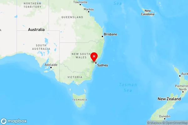
Jamisontown Region Map
Country
Main Region in AU
R1Coordinates
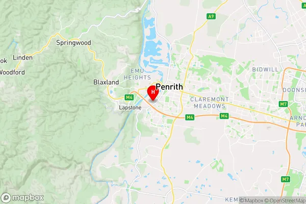
-33.76829,150.67238 (latitude/longitude)Jamisontown Area Map (Street)
Longitude
150.678551Latitude
-33.755476Jamisontown Elevation
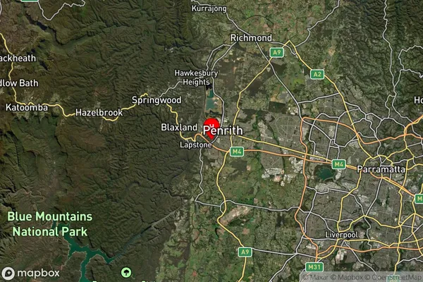
about 24.40 meters height above sea level (Altitude)Jamisontown Suburb Map (Satellite)
Distances
The distance from Jamisontown, Sydney - Outer West and Blue Mountains, NSW to AU Greater Capital CitiesSA1 Code 2011
12403146140SA1 Code 2016
12403146140SA2 Code
124031461SA3 Code
12403SA4 Code
124RA 2011
1RA 2016
1MMM 2015
1MMM 2019
1Charge Zone
N1LGA Region
PenrithLGA Code
16350Electorate
Lindsay