Mayfield Area, Mayfield Postcode(2787) & Map in Mayfield, Central West, NSW
Mayfield Area, Mayfield Postcode(2787) & Map in Mayfield, Central West, NSW, AU, Postcode: 2787
Mayfield, Oberon, Bathurst, Central West, New South Wales, Australia, 2787
Mayfield Postcode
Area Name
MayfieldMayfield Suburb Area Map (Polygon)

Mayfield Introduction
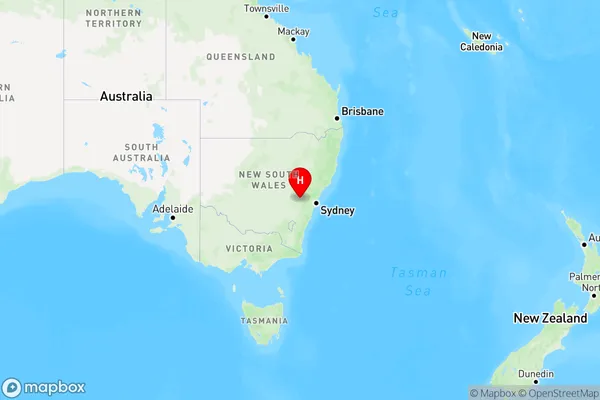
Mayfield is a suburb in the City of Central West, New South Wales, Australia. It is located 60 kilometers west of Sydney's central business district and is part of the Greater Western Sydney region. The suburb has a population of around 22,000 people and is known for its historic industrial heritage and modern development.State Name
City or Big Region
District or Regional Area
Suburb Name
Mayfield Region Map
Country
Main Region in AU
R3Coordinates
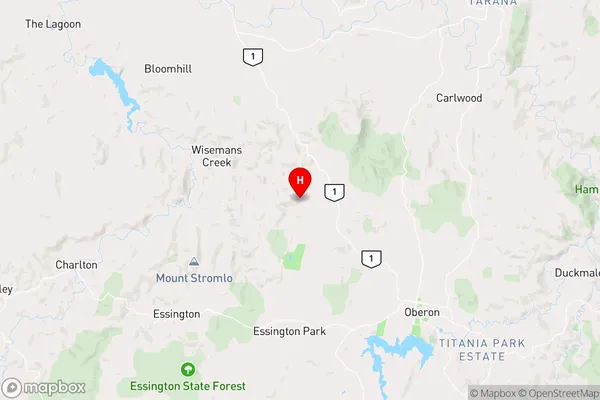
-33.6400332,149.7750526 (latitude/longitude)Mayfield Area Map (Street)
Longitude
150.153221Latitude
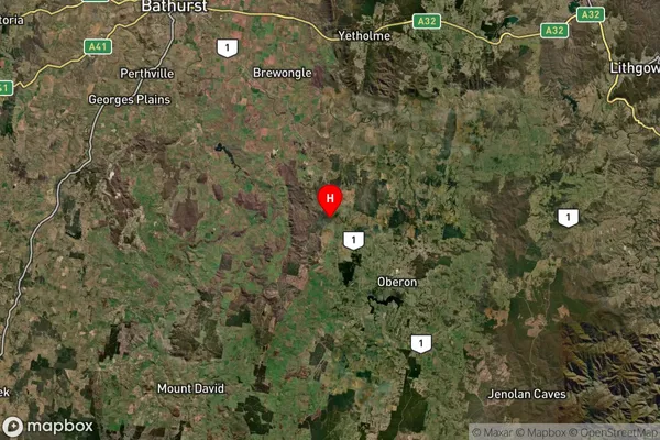
-34.06024Mayfield Suburb Map (Satellite)
Distances
The distance from Mayfield, Central West, NSW to AU Greater Capital CitiesSA1 Code 2011
10301106102SA1 Code 2016
10301106102SA2 Code
103011061SA3 Code
10301SA4 Code
103RA 2011
2RA 2016
2MMM 2015
5MMM 2019
5Charge Zone
N2LGA Region
WollondillyLGA Code
18400Electorate
Hume