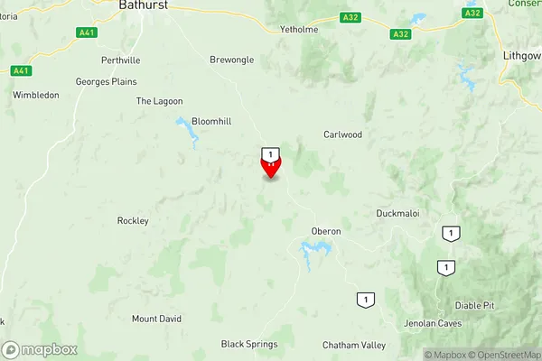
Oberon Suburbs & Region, Oberon Map & Postcodes
Oberon Suburbs & Region, Oberon Map & Postcodes in Oberon, Orange, Central West, NSW, AU
Oberon Region
Region Name
Oberon (NSW, AU)Oberon Area
2972 square kilometers (2,972 ㎢)Postal Codes
2580, 2787, 2790, and 2795 (In total, there are 4 postcodes in Oberon.)Oberon Introduction
Oberon is a town in the Central West region of New South Wales, Australia. It is located in the Oberon Shire and is situated on the Macquarie River. The town is known for its beautiful scenery, including the Blue Mountains to the west and the Oberon Plateau to the east. Oberon has a population of around 2,000 people and is a popular tourist destination. The town is home to several historic buildings, including the Oberon Courthouse and the Oberon Post Office. The area is also known for its agricultural industries, including sheep farming and forestry.Australia State
City or Big Region
Greater Capital City
Rest of NSW (1RNSW)District or Regional Area
Suburb Name
Oberon Region Map

Oberon Postcodes / Zip Codes
Oberon Suburbs
Oberon full address
Oberon, Orange, Central West, New South Wales, NSW, Australia, SaCode: 103011061Country
Oberon, Orange, Central West, New South Wales, NSW, Australia, SaCode: 103011061
Oberon Suburbs & Region, Oberon Map & Postcodes has 0 areas or regions above, and there are 34 Oberon suburbs below. The sa2code for the Oberon region is 103011061. Its latitude and longitude coordinates are -33.64,149.775. Oberon area belongs to Australia's greater capital city Rest of NSW.
Oberon Suburbs & Localities
1. Jerrong
2. Paling Yards
3. Black Springs
4. Gingkin
5. Jaunter
6. Porters Retreat
7. Shooters Hill
8. The Meadows
9. Chatham Valley
10. Essington
11. Ballyroe
12. Gilmandyke
13. Judds Creek
14. Jeremy
15. Mount David
16. Twenty Forests
17. Mayfield
18. Mount Olive
19. Mount Werong
20. Norway
21. Oberon
22. Jenolan
23. Arkstone
24. Bald Ridge
25. Duckmaloi
26. Edith
27. Gurnang
28. Hazelgrove
29. Mozart
30. Jenolan Caves
31. Burraga
32. Dog Rocks
33. Essington
34. Isabella
