Gurnang Area, Gurnang Postcode(2787) & Map in Gurnang, Central West, NSW
Gurnang Area, Gurnang Postcode(2787) & Map in Gurnang, Central West, NSW, AU, Postcode: 2787
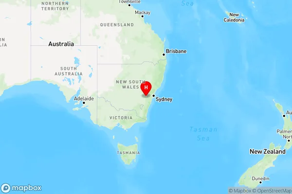
Gurnang, Oberon, Bathurst, Central West, New South Wales, Australia, 2787
Gurnang Postcode
Area Name
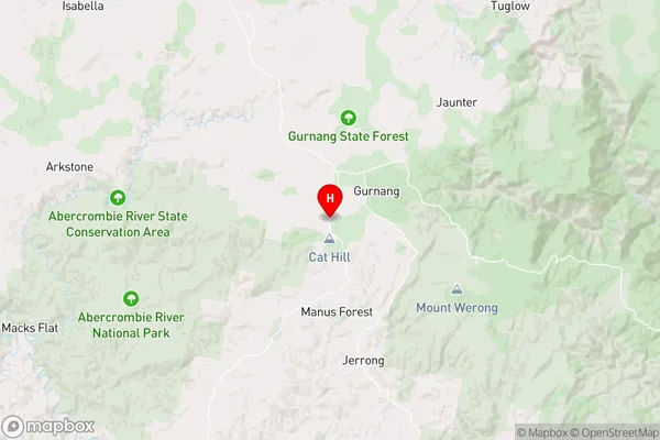
GurnangGurnang Suburb Area Map (Polygon)

Gurnang Introduction
Gurnang is a small rural town in the Central West region of New South Wales, Australia. It is located in the Macquarie Valley and is surrounded by beautiful natural scenery, including the Blue Mountains and the Werong River. The town has a population of around 2,000 people and is known for its friendly community and agricultural industry. Gurnang is also home to a number of historic buildings, including the Gurnang Hotel and the Gurnang Post Office.State Name
City or Big Region
District or Regional Area
Suburb Name
Gurnang Region Map
Country
Main Region in AU
R3Coordinates
-34.0592198,149.821989 (latitude/longitude)Gurnang Area Map (Street)
Longitude
150.153221Latitude
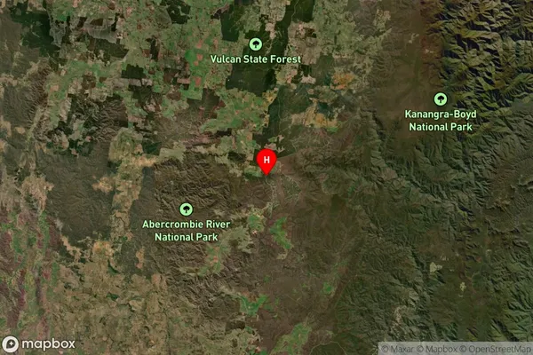
-34.06024Gurnang Suburb Map (Satellite)
Distances
The distance from Gurnang, Central West, NSW to AU Greater Capital CitiesSA1 Code 2011
10301106107SA1 Code 2016
10301106107SA2 Code
103011061SA3 Code
10301SA4 Code
103RA 2011
3RA 2016
3MMM 2015
5MMM 2019
5Charge Zone
N2LGA Region
WollondillyLGA Code
18400Electorate
Hume