Mount Werong Area, Mount Werong Postcode(2787) & Map in Mount Werong, Central West, NSW
Mount Werong Area, Mount Werong Postcode(2787) & Map in Mount Werong, Central West, NSW, AU, Postcode: 2787
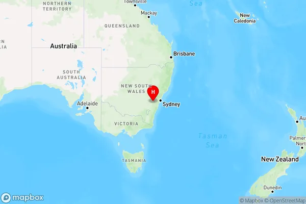
Mount Werong, Oberon, Bathurst, Central West, New South Wales, Australia, 2787
Mount Werong Postcode
Area Name
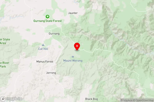
Mount WerongMount Werong Suburb Area Map (Polygon)

Mount Werong Introduction
Mount Werong is a mountain located in the Central West region of New South Wales, Australia. It is part of the Werong Range and is situated about 250 kilometers west of Sydney. The mountain is known for its scenic beauty, with panoramic views of the surrounding countryside and the opportunity for hiking, camping, and wildlife watching.State Name
City or Big Region
District or Regional Area
Suburb Name
Mount Werong Region Map
Country
Main Region in AU
R3Coordinates
-34.0831398,149.9123544 (latitude/longitude)Mount Werong Area Map (Street)
Longitude
150.153221Latitude
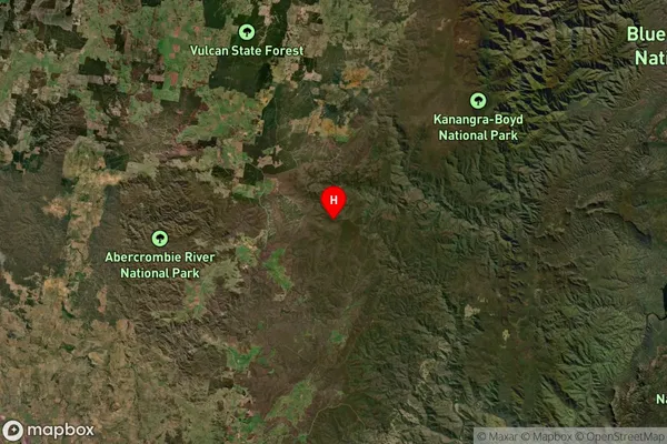
-34.06024Mount Werong Suburb Map (Satellite)
Distances
The distance from Mount Werong, Central West, NSW to AU Greater Capital CitiesSA1 Code 2011
10301106107SA1 Code 2016
10301106107SA2 Code
103011061SA3 Code
10301SA4 Code
103RA 2011
3RA 2016
3MMM 2015
5MMM 2019
5Charge Zone
N2LGA Region
WollondillyLGA Code
18400Electorate
Hume