Jenolan Caves Area, Jenolan Caves Postcode(2790) & Map in Jenolan Caves, Central West, NSW
Jenolan Caves Area, Jenolan Caves Postcode(2790) & Map in Jenolan Caves, Central West, NSW, AU, Postcode: 2790
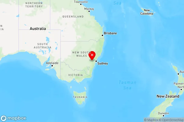
Jenolan Caves, Oberon, Bathurst, Central West, New South Wales, Australia, 2790
Jenolan Caves Postcode
Area Name
Jenolan CavesJenolan Caves Suburb Area Map (Polygon)

Jenolan Caves Introduction
The Jenolan Caves are a series of limestone caves located in the Central West region of New South Wales, Australia. They are known for their stunning natural beauty, including intricate cave formations, stalactites, and stalagmites. The caves have a rich history, dating back millions of years, and were discovered by explorers in the 19th century. Visitors can explore the caves on guided tours, which include walking through underground chambers and viewing the impressive geological features. The Jenolan Caves are a popular tourist destination and have been designated as a UNESCO World Heritage Site.State Name
City or Big Region
District or Regional Area
Suburb Name
Jenolan Caves Region Map
Country
Main Region in AU
R3Coordinates
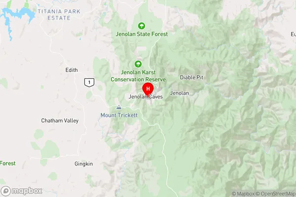
-33.8228,150.024 (latitude/longitude)Jenolan Caves Area Map (Street)
Longitude
150.356874Latitude
-33.310653Jenolan Caves Elevation
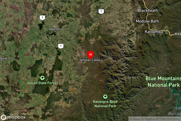
about 1068.46 meters height above sea level (Altitude)Jenolan Caves Suburb Map (Satellite)
Distances
The distance from Jenolan Caves, Central West, NSW to AU Greater Capital CitiesSA1 Code 2011
10301106104SA1 Code 2016
10301106104SA2 Code
103011061SA3 Code
10301SA4 Code
103RA 2011
2RA 2016
2MMM 2015
5MMM 2019
5Charge Zone
N2LGA Region
LithgowLGA Code
14870Electorate
Calare