Gingkin Area, Gingkin Postcode(2787) & Map in Gingkin, Central West, NSW
Gingkin Area, Gingkin Postcode(2787) & Map in Gingkin, Central West, NSW, AU, Postcode: 2787
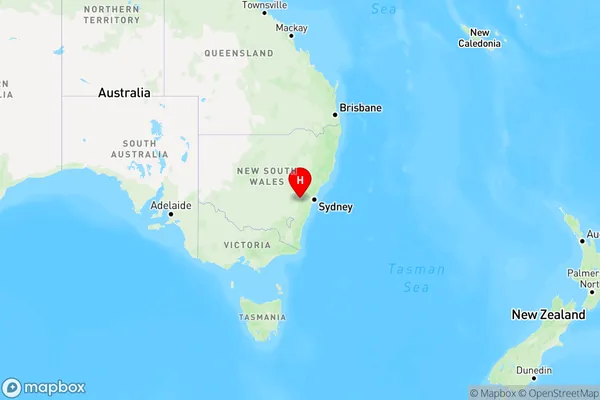
Gingkin, Oberon, Bathurst, Central West, New South Wales, Australia, 2787
Gingkin Postcode
Area Name
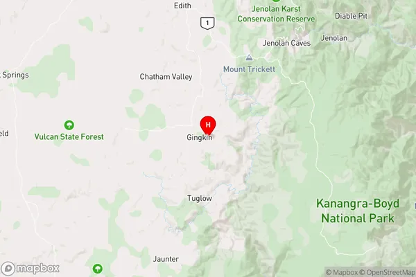
GingkinGingkin Suburb Area Map (Polygon)

Gingkin Introduction
Gingkin is a small town in the Central West region of New South Wales, Australia. It is located in the Macquarie River valley and is known for its rich agricultural heritage and scenic countryside. The town has a population of around 2,000 people and is surrounded by farms and vineyards. It is also home to the Gingkin Nature Reserve, which is a popular spot for hiking and wildlife watching.State Name
City or Big Region
District or Regional Area
Suburb Name
Gingkin Region Map
Country
Main Region in AU
R3Coordinates
-33.8992349,149.942865 (latitude/longitude)Gingkin Area Map (Street)
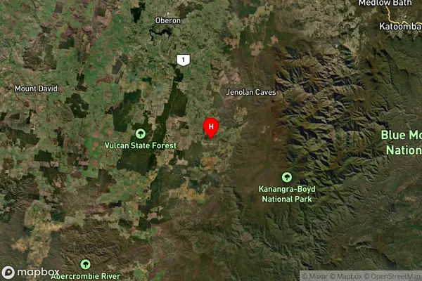
Longitude
150.153221Latitude
-34.06024Gingkin Suburb Map (Satellite)
Distances
The distance from Gingkin, Central West, NSW to AU Greater Capital CitiesSA1 Code 2011
10301106104SA1 Code 2016
10301106104SA2 Code
103011061SA3 Code
10301SA4 Code
103RA 2011
2RA 2016
2MMM 2015
5MMM 2019
5Charge Zone
N2LGA Region
WollondillyLGA Code
18400Electorate
Hume