Outback South Suburbs & Region, Outback South Map & Postcodes
Outback South Suburbs & Region, Outback South Map & Postcodes in Outback South, Queensland Outback, QLD, AU
Outback South Region
Region Name
Outback South (QLD, AU)Outback South Area
625216 square kilometers (625,216 ㎢)Postal Codes
4467, 4468, from 4470 to 4472, 4474, 4475, from 4477 to 4482, from 4488 to 4493, from 4724 to 4728, from 4730 to 4733, 4735, 4736, 4823, and 4829 (In total, there are 32 postcodes in Outback South.)Outback South Introduction
Outback South is a region in Queensland, Australia, known for its stunning landscapes, including the Great Barrier Reef, the Outback Mountains, and the Diamantina River. It is home to a diverse range of wildlife, including kangaroos, wallabies, and emus. The region is also home to several historic towns, including Charleville, which is known for its impressive collection of Queenslander-style buildings. Outback South is a popular destination for tourists who want to experience the natural beauty and culture of Australia's remote regions.Australia State
City or Big Region
District or Regional Area
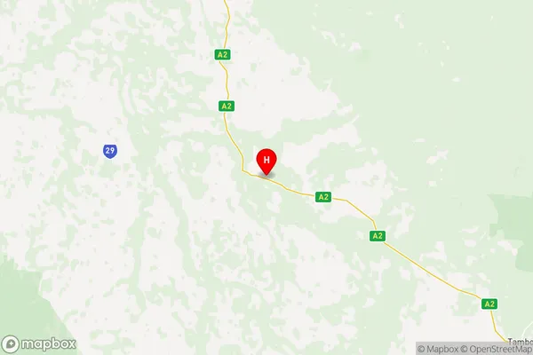
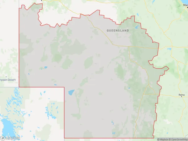
Outback South Region Map

Outback South Postcodes / Zip Codes
Outback South Suburbs
Northern Highlands
Outback South full address
Outback South, Queensland Outback, Queensland, QLD, Australia, SaCode: 31503Country
Outback South, Queensland Outback, Queensland, QLD, Australia, SaCode: 31503
Outback South Suburbs & Region, Outback South Map & Postcodes has 6 areas or regions above, and there are 126 Outback South suburbs below. The sa3code for the Outback South region is 31503. Its latitude and longitude coordinates are -24.4206,145.467.
Outback South Suburbs & Localities
1. Mungallala
2. Morven
3. Gowrie Station
4. Murweh
5. Ward
6. Cheepie
7. Augathella
8. Nive
9. Lansdowne
10. Lumeah
11. Minnie Downs
12. Windeyer
13. Cooladdi
14. Quilpie
15. Tanbar
16. Windorah
17. Bargunyah
18. Wyandra
19. Cunnamulla
20. Noorama
21. Nockatunga
22. Mungallala South
23. Bakers Bend
24. Sommariva
25. Claverton
26. Adavale
27. Caroline Crossing
28. Caldervale
29. Macfarlane
30. Scrubby Creek
31. Tambo
32. Eromanga
33. Birdsville
34. Humeburn
35. Jobs Gate
36. Bulloo Downs
37. Noccundra
38. Tyrconnel
39. Charleville
40. Langlo
41. Upper Warrego
42. Bollon
43. Nebine
44. Tuen
45. Yowah
46. Cameron Corner
47. Durham
48. Hungerford
49. Redford
50. Boatman
51. Clara Creek
52. Riversleigh
53. Nardoo Siding
54. Blackall
55. Mount Enniskillen
56. Bayrick
57. Yandarlo
58. Farrars Creek
59. Bindebango
60. Barringun
61. Coongoola
62. Cuttaburra
63. Linden
64. Widgeegoara
65. Eulo
66. Bullawarra
67. Dynevor
68. Norley
69. Thargomindah
70. Port Wine
71. Barcaldine Downs
72. Patrick
73. Ilfracombe
74. Mexico
75. Ernestina
76. Opalton
77. Hobartville
78. Aramac
79. Jericho
80. Camoola
81. Morella
82. Tocal
83. Vergemont
84. Muttaburra
85. Beaufort
86. Drummondslope
87. Pine Hill
88. Quetta
89. Saltern
90. Tara Station
91. Galilee
92. Pelican Creek
93. Ernestina
94. Stonehenge
95. Isisford
96. Middleton
97. Alpha
98. Sedgeford
99. Surbiton
100. Barcaldine
101. Dunrobin
102. Garfield
103. Brixton
104. Chorregon
105. Longreach
106. Maneroo
107. Tablederry
108. Corfield
109. Diamantina Lakes
110. Winton
111. Jundah
112. Carpentaria
113. Julia Creek
114. Kynuna
115. Stokes
116. Min Min
117. Sturt
118. Warenda
119. Bedourie
120. Taldora
121. Warburton
122. Amaroo
123. Boulia
124. Toko
125. Wills
126. Mckinlay
