Isisford Area, Isisford Postcode(4731) & Map in Isisford, Queensland - Outback, QLD
Isisford Area, Isisford Postcode(4731) & Map in Isisford, Queensland - Outback, QLD, AU, Postcode: 4731
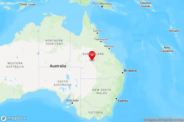
Isisford, Longreach, Outback - South, Queensland - Outback, Queensland, Australia, 4731
Isisford Postcode
Area Name
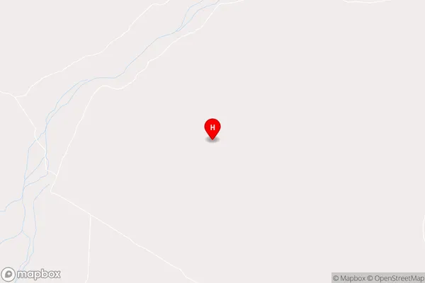
IsisfordIsisford Suburb Area Map (Polygon)

Isisford Introduction
Isisford is a small town in Queensland, Australia, located in the Outback. It is known for its cattle industry and is a popular destination for tourists seeking a taste of the Australian bush. The town is home to a number of historic buildings, including the Isisford Hotel, which was built in 1888.State Name
City or Big Region
District or Regional Area
Suburb Name
Isisford Region Map
Country
Main Region in AU
R3Coordinates
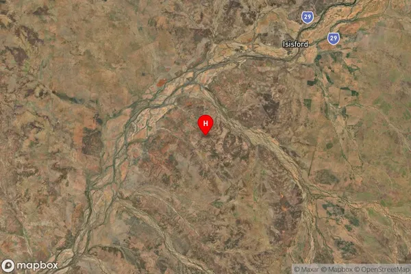
-24.4286407,144.2593118 (latitude/longitude)Isisford Area Map (Street)
Longitude
144.26853Latitude
-24.49928Isisford Suburb Map (Satellite)
Distances
The distance from Isisford, Queensland - Outback, QLD to AU Greater Capital CitiesSA1 Code 2011
31503141209SA1 Code 2016
31503141209SA2 Code
315031412SA3 Code
31503SA4 Code
315RA 2011
5RA 2016
5MMM 2015
7MMM 2019
7Charge Zone
Q3LGA Region
LongreachLGA Code
34710Electorate
Maranoa