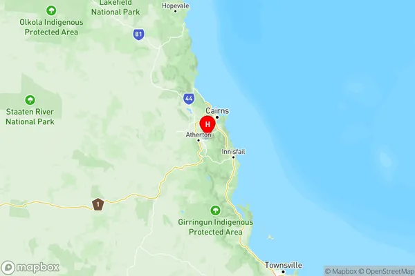
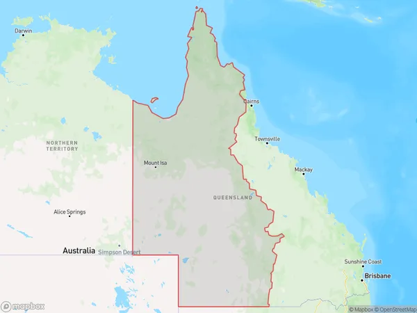
Queensland Outback Suburbs & Region, Queensland Outback Map & Postcodes
Queensland Outback Suburbs & Region, Queensland Outback Map & Postcodes in Queensland Outback, QLD, AU
Queensland Outback Region
Region Name
Queensland Outback (QLD, AU)Queensland Outback Area
1183180 square kilometers (1,183,180 ㎢)Postal Codes
4467, 4468, from 4470 to 4472, 4474, 4475, from 4477 to 4482, from 4488 to 4493, from 4724 to 4728, from 4730 to 4733, 4735, 4736, from 4821 to 4824, from 4828 to 4830, 4871, 4872, from 4874 to 4876, 4880, 4887, from 4890 to 4892, and 4895 (In total, there are 48 postcodes in Queensland Outback.)Queensland Outback Introduction
The Queensland Outback is a vast and remote region in the northeastern part of Australia. It is known for its rugged terrain, including the Great Dividing Range, the Simpson Desert, and the Diamantina National Park. The Outback is home to a variety of wildlife, including kangaroos, wallabies, and emus. It is also home to several indigenous communities, including the Aboriginals and the Torres Strait Islanders. The Outback is a popular destination for tourists, who can explore the region's many national parks, scenic drives, and cultural attractions.Australia State
City or Big Region
Queensland Outback Region Map

Queensland Outback Postcodes / Zip Codes
Queensland Outback Suburbs
Outback North
Outback South
Queensland Outback full address
Queensland Outback, Queensland, QLD, Australia, SaCode: 315Country
Queensland Outback, Queensland, QLD, Australia, SaCode: 315
Queensland Outback Suburbs & Region, Queensland Outback Map & Postcodes has 3 areas or regions above, and there are 394 Queensland Outback suburbs below. The sa4code for the Queensland Outback region is 315. Its latitude and longitude coordinates are -17.2336,145.619.
Queensland Outback Suburbs & Localities
1. Macalister Range
2. Cairns Mc
3. Moomin
4. Mareeba
5. Bargunyah
6. Mungallala
7. Aurukun
8. Jardine River
9. Bloomfield
10. Bellfield
11. Seisia
12. Thursday Island
13. Carpentaria
14. Augustus Downs
15. Gidya
16. Howitt
17. Karumba
18. Camooweal
19. Tangorin
20. Lansdowne
21. Blackall
22. Port Wine
23. Barcaldine Downs
24. Mexico
25. Aramac
26. Muttaburra
27. Morven
28. Gowrie Station
29. Augathella
30. Cooladdi
31. Tanbar
32. Birdsville
33. Opalton
34. Stonehenge
35. Corfield
36. Jundah
37. Min Min
38. Cheepie
39. Quilpie
40. Wyandra
41. Cunnamulla
42. Nockatunga
43. Claverton
44. Adavale
45. Hungerford
46. Eulo
47. Ilfracombe
48. Isisford
