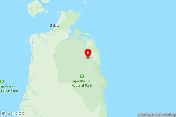
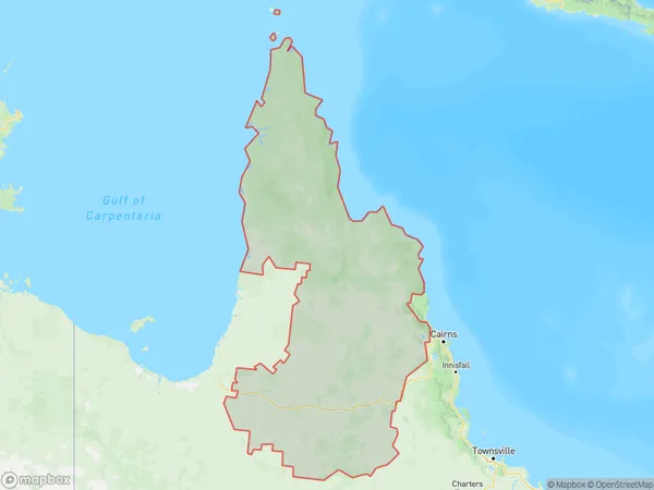
Far North Suburbs & Region, Far North Map & Postcodes
Far North Suburbs & Region, Far North Map & Postcodes in Far North, Queensland Outback, QLD, AU
Far North Region
Region Name
Far North (QLD, AU)Far North Area
250878 square kilometers (250,878 ㎢)Far North Introduction
The Far North, Queensland Outback, Queensland, AU, is a remote and sparsely populated region in northern Queensland, Australia. It is known for its rugged terrain, including the Great Barrier Reef, the Atherton Tablelands, and the Cape York Peninsula. The region is home to a variety of unique wildlife, including kangaroos, wallabies, and crocodiles. The Far North is also home to several indigenous communities, including the Yidinji and Girramay, who have lived in the region for thousands of years. The region is accessible by road from Cairns or by air from Brisbane.Australia State
City or Big Region
District or Regional Area
Far North Region Map

Far North Suburbs
Malanda Yungaburra
Northern Peninsula
Torres Strait Islands
Gayndah Mundubbera
Far North full address
Far North, Queensland Outback, Queensland, QLD, Australia, SaCode: 31501Country
Far North, Queensland Outback, Queensland, QLD, Australia, SaCode: 31501
Far North Suburbs & Region, Far North Map & Postcodes has 10 areas or regions above, and there are 0 Far North suburbs below. The sa3code for the Far North region is 31501. Its latitude and longitude coordinates are -11.1499,142.68.
