Myola Area, Myola Postcode(4872) & Map in Myola, Cairns, QLD
Myola Area, Myola Postcode(4872) & Map in Myola, Cairns, QLD, AU, Postcode: 4872
Myola, Kuranda, Tablelands (East) - Kuranda, Cairns, Queensland, Australia, 4872
Myola Postcode
Area Name
MyolaMyola Suburb Area Map (Polygon)

Myola Introduction
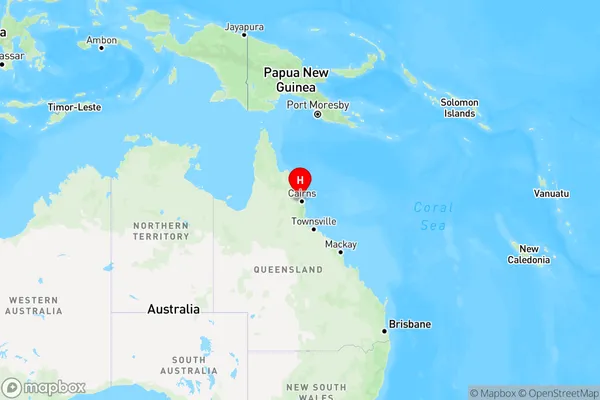
Myola is a suburb of Cairns, Queensland, Australia, located 16 km northeast of the city center. It is known for its beautiful beaches, including Trinity Beach and Palm Cove, as well as its lush rainforest and national parks. Myola is a popular destination for tourists and locals alike, offering a range of activities such as swimming, snorkeling, and hiking.State Name
City or Big Region
District or Regional Area
Suburb Name
Myola Region Map
Country
Main Region in AU
R3Coordinates
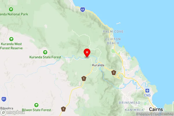
-16.8044,145.609 (latitude/longitude)Myola Area Map (Street)
Longitude
145.157257Latitude
-18.028128Myola Elevation
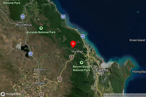
about 651.79 meters height above sea level (Altitude)Myola Suburb Map (Satellite)
Distances
The distance from Myola, Cairns, QLD to AU Greater Capital CitiesSA1 Code 2011
30605116806SA1 Code 2016
30605116806SA2 Code
306051168SA3 Code
30605SA4 Code
306RA 2011
3RA 2016
3MMM 2015
2MMM 2019
2Charge Zone
Q4LGA Region
TablelandsLGA Code
36820Electorate
Leichhardt