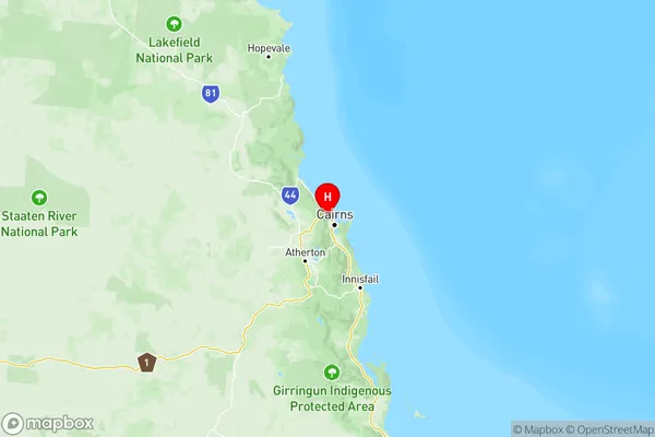
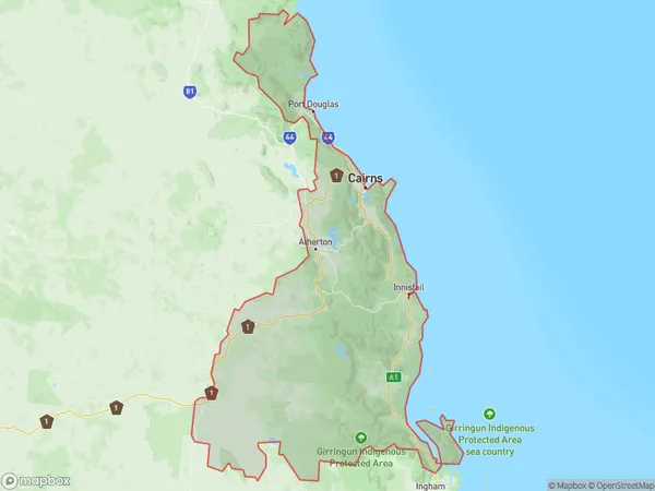
Cairns Suburbs & Region, Cairns Map & Postcodes
Cairns Suburbs & Region, Cairns Map & Postcodes in Cairns, QLD, AU
Cairns Region
Region Name
Cairns (QLD, AU)Cairns Area
21338 square kilometers (21,338 ㎢)Postal Codes
4382, 4849, 4852, from 4854 to 4861, 4865, from 4868 to 4870, 4873, from 4877 to 4879, from 4881 to 4886, and 4888 (In total, there are 26 postcodes in Cairns.)Cairns Introduction
Cairns is a city in Queensland, Australia, and the gateway to the Great Barrier Reef. It is known for its tropical climate, outdoor activities, and vibrant culture. The city is home to numerous attractions, including the Cairns Aquarium, the Cairns Botanic Gardens, and the Esplanade. It is also a popular destination for scuba diving and snorkeling, with the Great Barrier Reef located just off the coast. Cairns is a bustling city with a population of over 150,000 people and is a popular stop for tourists traveling to Australia.Australia State
City or Big Region
Cairns Region Map

Cairns Postcodes / Zip Codes
Cairns Suburbs
Cairns North
Cairns South
Innisfail Cassowary Coast
Port Douglas Daintree
Tablelands (East) Kuranda
Cairns full address
Cairns, Queensland, QLD, Australia, SaCode: 306Country
Cairns, Queensland, QLD, Australia, SaCode: 306
Cairns Suburbs & Region, Cairns Map & Postcodes has 5 areas or regions above, and there are 253 Cairns suburbs below. The sa4code for the Cairns region is 306. Its latitude and longitude coordinates are -16.8583,145.7.
Cairns Suburbs & Localities
1. Tarrawarra
2. Njatjan
3. Brinsmead
4. Ellis Beach
5. Barron
6. Bentley Park
7. Little Mulgrave
8. Bartle Frere
9. Bingil Bay
10. El Arish
11. Goolboo
12. Silkwood East
13. Etty Bay
14. No 6 Branch
15. Rungoo
16. Dingo Pocket
17. Cow Bay
18. Killaloe
19. Atherton
20. Tolga
21. Evelyn
22. Koah
23. Topaz
24. Ellinjaa
25. Gadgarra
26. Sundown
